UN/LOCODE hub · Spain
ESMLO

Maliaño

43.4167°, -3.8333°
3
Transport functions

Transport Functions

Port
Rail
Road
UN/LOCODE

Hub Profile

Place type
Populated place
GeoNames
Region
Cantabria
GeoNames
Time zone
Europe/Madrid
GeoNames
Elevation
47 m
GeoNames

Location

Location of ESMLO
Natural Earth 10m (public domain) · Cantabria · ESMLO · 43.42, -3.83GoogleOSMYandex

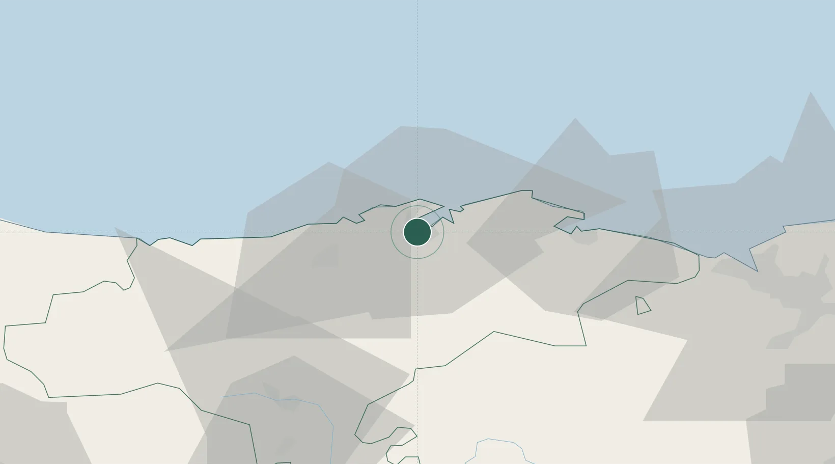
Nearby Logistics Neighbours

Cities
  1. 1El Astillero2 km
  2. 2Santander3 km
  3. 3Parbayon6 km
  4. 4Revilla de Camargo6 km
  5. 5Orejo8 km
Nearest neighbours — logibook spatial index (haversine) over the source coordinates
Ports
  1. 1Santander7 km
  2. 2Puerto De Bilbao64 km
  3. 3Bermeo90 km
  4. 4Gijon149 km
  5. 5Puerto De Pasajes154 km
Nearest neighbours — logibook spatial index (haversine) over the source coordinates
Airports
  1. 1Seve Ballesteros-Santander Airport2 km
  2. 2Bilbao Airport76 km
  3. 3Vitoria Airport108 km
  4. 4Burgos Airport119 km
  5. 5Logroño-Agoncillo Airport163 km
Nearest neighbours — logibook spatial index (haversine) over the source coordinates
Trade Zones
  1. 1Zona Franca de Santander4 km
  2. 2Depósito Franco de Bilbao65 km
  3. 3Depósito Franco de Villafría (Burgos)117 km
  4. 4Depósito Franco de Gijón151 km
  5. 5Depósito Franco de Pasajes (Guipúzcoa)155 km
Nearest neighbours — logibook spatial index (haversine) over the source coordinates
DatabookThe Record of Consolidated Knowledge
Spain beyond logistics?
Browse databook

All Sources

LocationsUN/LOCODE
UN/LOCODE — free
Portsthe NGA World Port Index
Public domain (US gov)
AirportsOurAirports
Public domain
Trade Zonesthe World Bank SEZ database
CC BY 4.0
Trade ZonesOpen Zone Map
CC BY
← Spain locations