Transport Functions
Rail
Road
Hub Profile
Place type
Populated place
Region
Zealand
Time zone
Europe/Copenhagen
Elevation
6 m
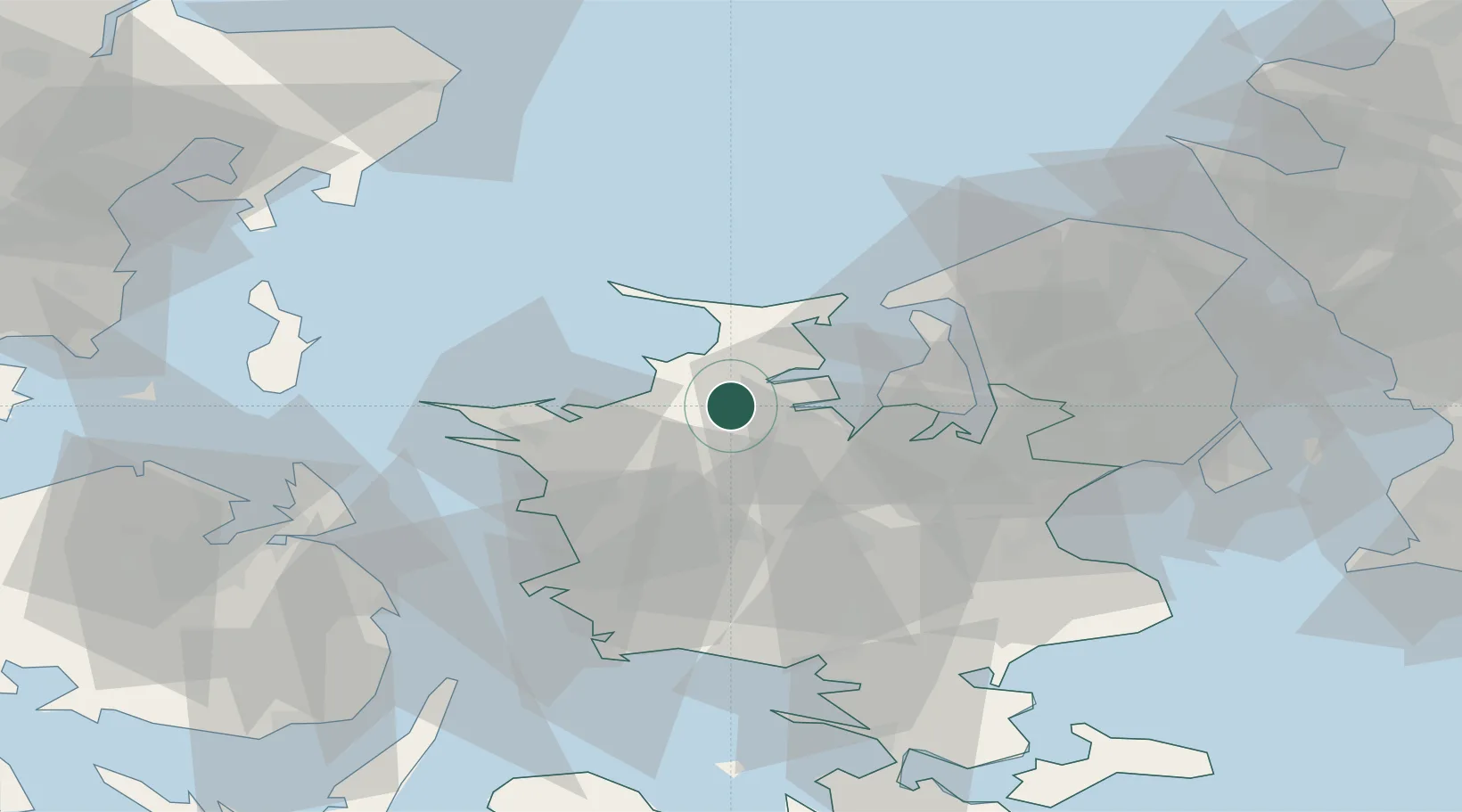
Location
Nearby Logistics Neighbours
Cities
- 1Grævinge8 km
- 2Eskilstrup14 km
- 3Nyrup17 km
- 4Svebølle18 km
- 5Tølløse21 km
Ports
- 1Holbaek12 km
- 2Kyndbyvaerkets24 km
- 3Kalundborg28 km
- 4Hundested Havn33 km
- 5Frederikssund34 km
Airports
Trade Zones
DatabookThe Record of Consolidated Knowledge
Denmark beyond logistics?