Transport Functions
Rail
Road
Hub Profile
Place type
Populated place
Region
Zealand
Population
3,605
Time zone
Europe/Copenhagen
Elevation
28 m
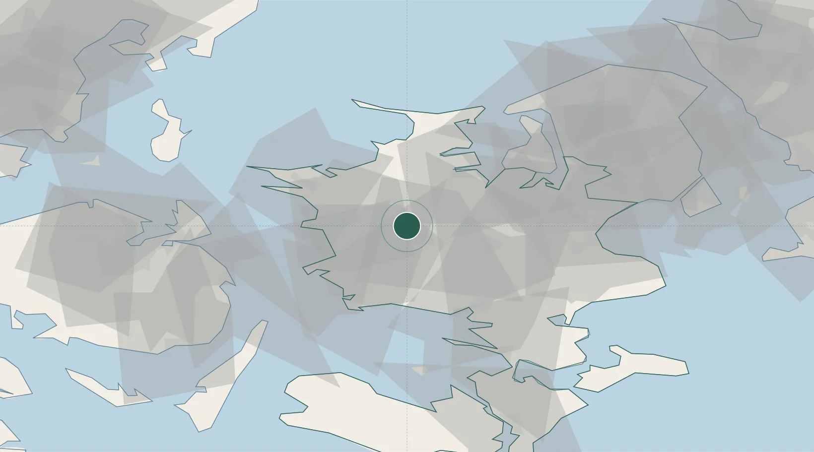
Location
Nearby Logistics Neighbours
Cities
- 1Nyrup15 km
- 2Broby Overdrev15 km
- 3Store Merløse15 km
- 4Store Fuglede16 km
- 5Svebølle19 km
Ports
- 1Holbaek27 km
- 2Korsor30 km
- 3Kalundborg30 km
- 4Skaelskor32 km
- 5Naestved36 km
Airports
Trade Zones
DatabookThe Record of Consolidated Knowledge
Denmark beyond logistics?