UN/LOCODE hub · Denmark
DKSVB

Svebølle

55.6500°, 11.2833°
2
Transport functions

Transport Functions

Rail
Road
UN/LOCODE

Hub Profile

Region
85
GeoNames

Location

Location of DKSVB
Natural Earth 10m (public domain) · 85 · DKSVB · 55.65, 11.28GoogleOSMYandex

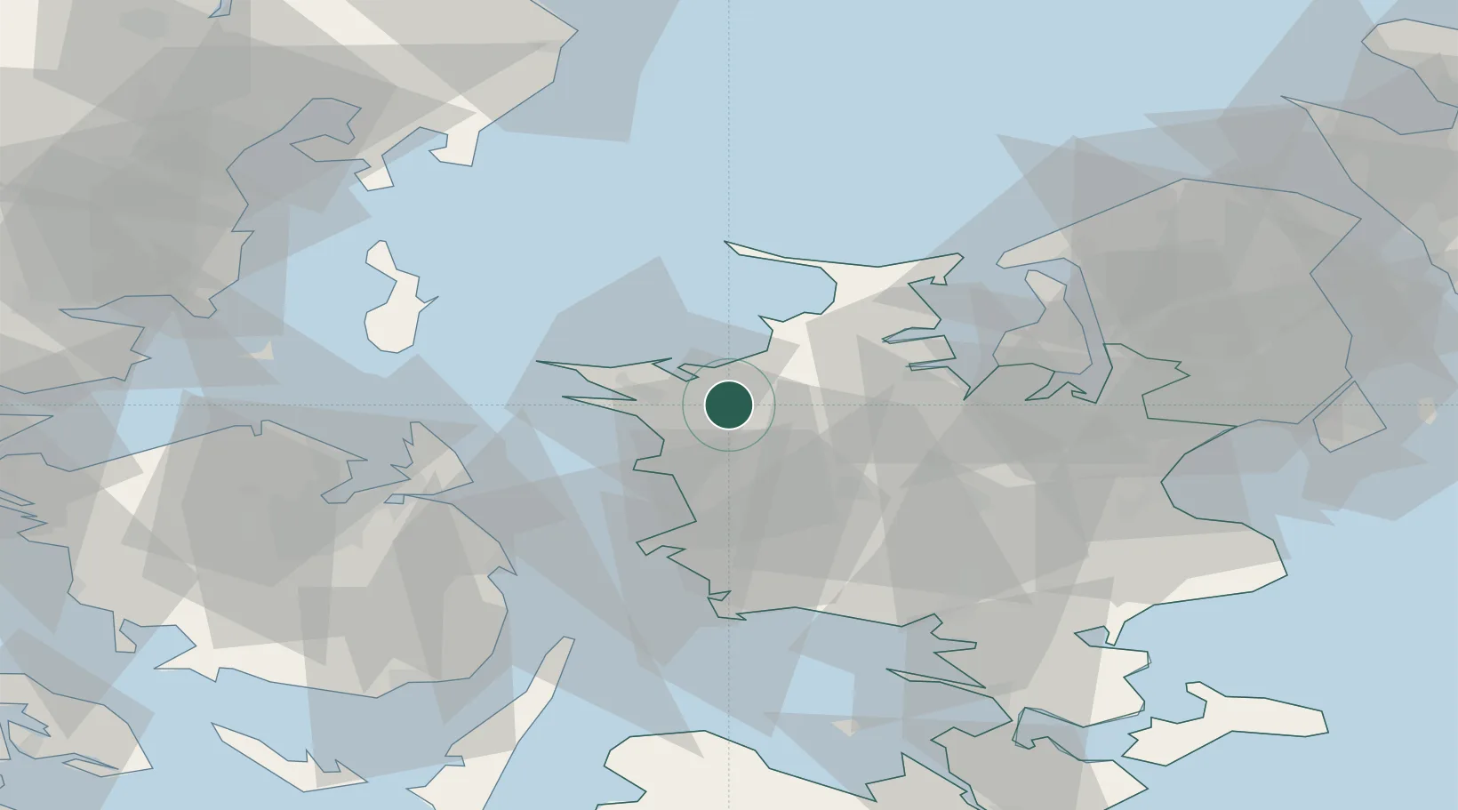
Nearby Logistics Neighbours

Cities
  1. 1Store Fuglede8 km
  2. 2Kalundborg13 km
  3. 3Gislinge18 km
  4. 4Dianalund19 km
  5. 5Grævinge24 km
Nearest neighbours — logibook spatial index (haversine) over the source coordinates
Ports
  1. 1Kalundborg12 km
  2. 2Holbaek28 km
  3. 3Korsor37 km
  4. 4Kyndbyvaerkets42 km
  5. 5Skaelskor45 km
Nearest neighbours — logibook spatial index (haversine) over the source coordinates
Airports
  1. 1Ringsted Airfield41 km
  2. 2Copenhagen Roskilde Airport54 km
  3. 3Odense Hans Christian Andersen Airport63 km
  4. 4København Vandflyveplads83 km
  5. 5Aarhus Airport84 km
Nearest neighbours — logibook spatial index (haversine) over the source coordinates
Trade Zones
  1. 1Freeport of Copenhagen- Nordhavn83 km
  2. 2MTS Malmö Transport and Spedition114 km
  3. 3Freeport of Kiel163 km
  4. 4Gothenburg Boundless Customs Warehouse231 km
  5. 5Freeport of Cuxhaven (Freihafen Cuxhaven)268 km
Nearest neighbours — logibook spatial index (haversine) over the source coordinates
DatabookThe Record of Consolidated Knowledge
Denmark beyond logistics?
Browse databook

All Sources

LocationsUN/LOCODE
UN/LOCODE — free
Portsthe NGA World Port Index
Public domain (US gov)
AirportsOurAirports
Public domain
Trade Zonesthe World Bank SEZ database
CC BY 4.0
Trade ZonesOpen Zone Map
CC BY
← Denmark locations