UN/LOCODE hub · Denmark
DKKAL
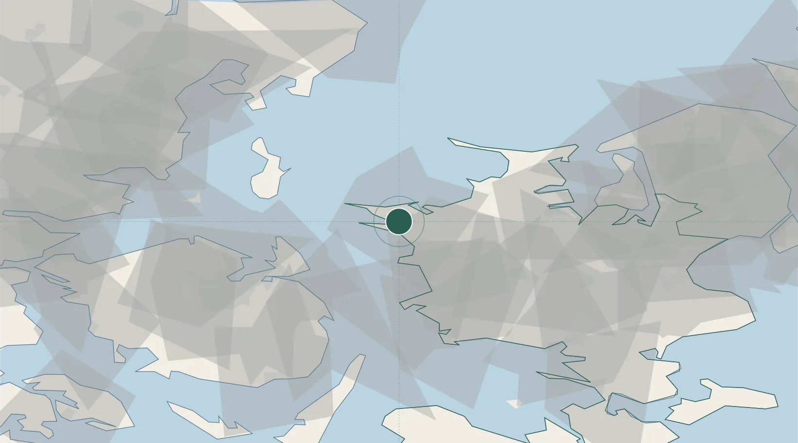
Kalundborg
55.6731°, 11.0860°
16,211
Population
2
Transport functions
2
Container terminals
Transport Functions
Port
Rail
Hub Profile
Place type
Provincial seat
Region
Zealand
Population
16,211
Time zone
Europe/Copenhagen
Elevation
3 m
Logistics facilities
4
Container terminals
2
Location
Nearby Logistics Neighbours
Cities
- 1Svebølle13 km
- 2Store Fuglede14 km
- 3Gislinge29 km
- 4Dianalund30 km
- 5Ballen32 km
Ports
- 1Kerteminde36 km
- 2Korsor38 km
- 3Holbaek40 km
- 4Nyborg44 km
- 5Skaelskor49 km
Airports
- 1Odense Hans Christian Andersen Airport53 km
- 2Ringsted Airfield53 km
- 3Copenhagen Roskilde Airport66 km
- 4Aarhus Seaplane Terminal75 km
- 5Aarhus Airport76 km
Trade Zones
DatabookThe Record of Consolidated Knowledge
Denmark beyond logistics?