Transport Functions
Port
Road
Hub Profile
Place type
Populated place
Region
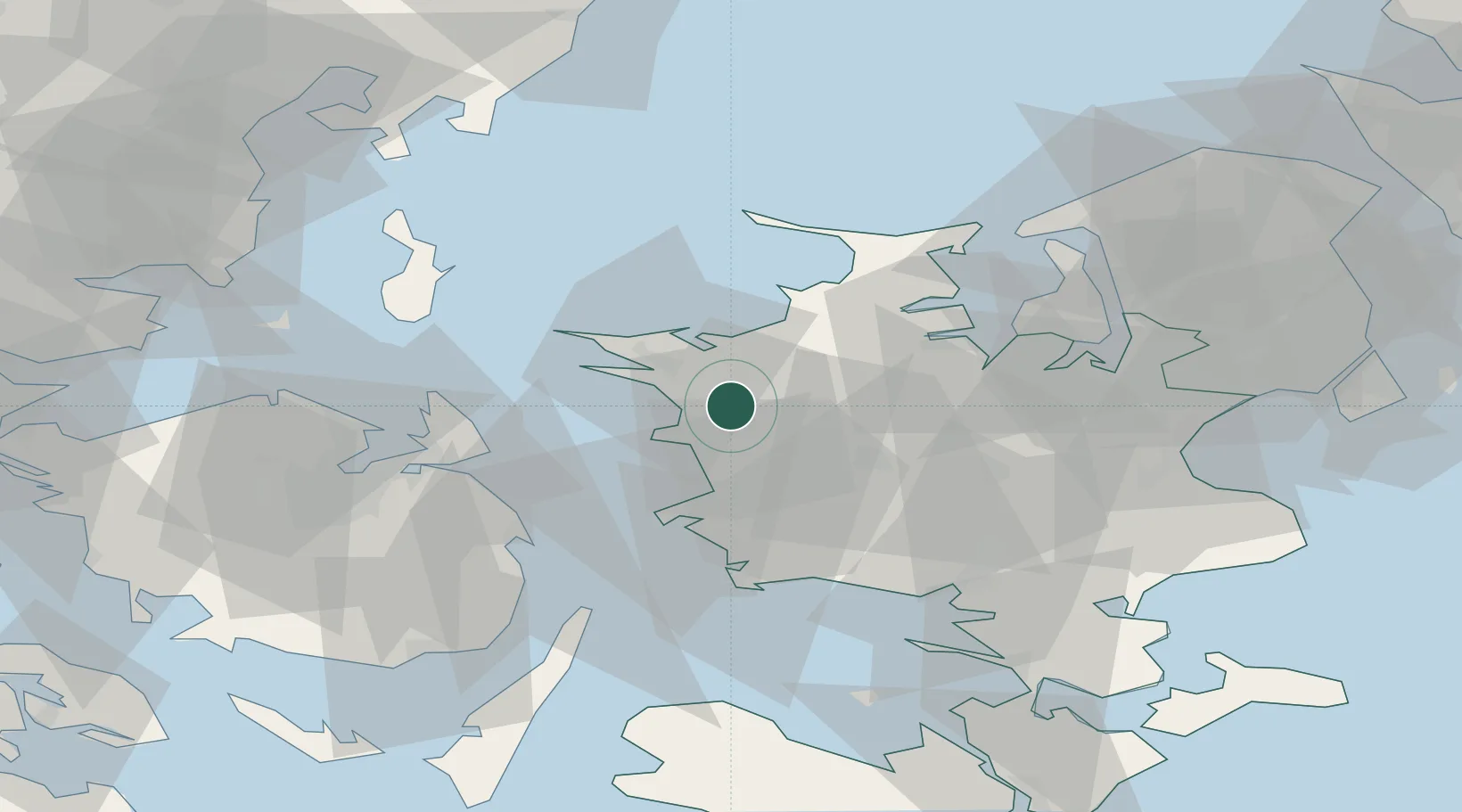
Zealand
Time zone
Europe/Copenhagen
Elevation
16 m
Location
Nearby Logistics Neighbours
Cities
- 1Svebølle8 km
- 2Kalundborg14 km
- 3Dianalund16 km
- 4Vemmelev24 km
- 5Gislinge24 km
Ports
- 1Kalundborg15 km
- 2Korsor29 km
- 3Holbaek33 km
- 4Skaelskor37 km
- 5Kerteminde40 km
Airports
Trade Zones
DatabookThe Record of Consolidated Knowledge
Denmark beyond logistics?