UN/LOCODE hub · Denmark
DKGVS

Grævinge

55.8000°, 11.5500°
2
Transport functions

Transport Functions

Rail
Road
UN/LOCODE

Hub Profile

Region
85
GeoNames

Location

Location of DKGVS
Natural Earth 10m (public domain) · 85 · DKGVS · 55.80, 11.55GoogleOSMYandex

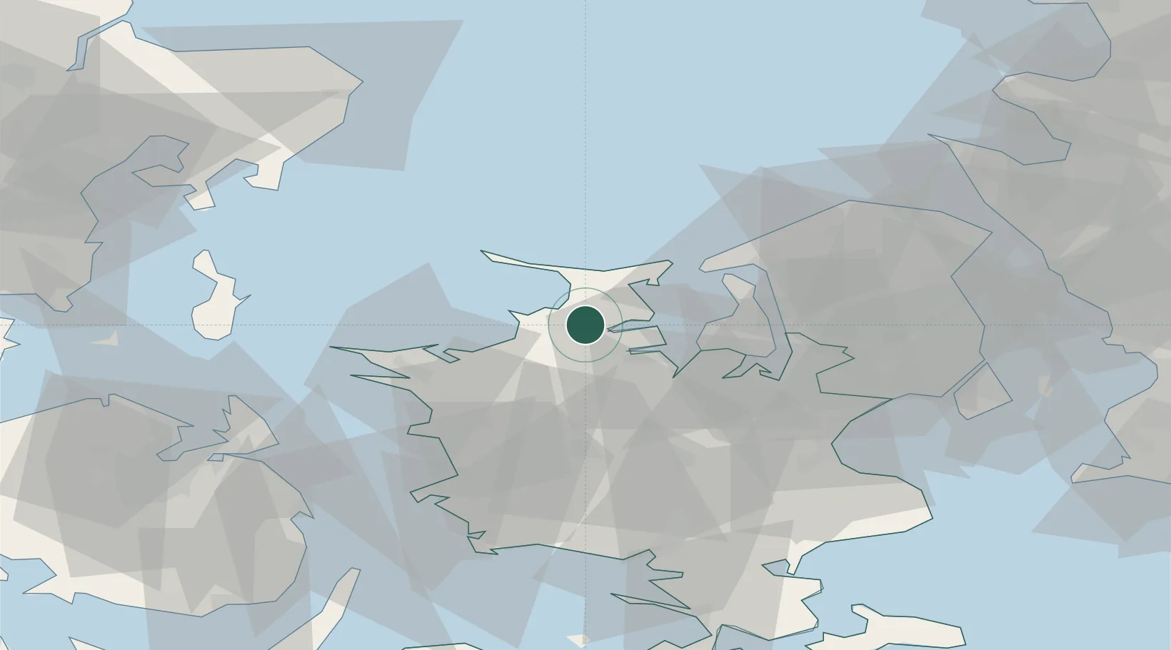
Nearby Logistics Neighbours

Cities
  1. 1Gislinge8 km
  2. 2Eskilstrup8 km
  3. 3Nykobing Sjaelland15 km
  4. 4Nyrup23 km
  5. 5Svebølle24 km
Nearest neighbours — logibook spatial index (haversine) over the source coordinates
Ports
  1. 1Holbaek14 km
  2. 2Kyndbyvaerkets21 km
  3. 3Hundested Havn26 km
  4. 4Kalundborg31 km
  5. 5Frederikssund32 km
Nearest neighbours — logibook spatial index (haversine) over the source coordinates
Airports
  1. 1Copenhagen Roskilde Airport44 km
  2. 2Ringsted Airfield45 km
  3. 3København Vandflyveplads67 km
  4. 4Copenhagen Kastrup Airport72 km
  5. 5Aarhus Airport81 km
Nearest neighbours — logibook spatial index (haversine) over the source coordinates
Trade Zones
  1. 1Freeport of Copenhagen- Nordhavn67 km
  2. 2MTS Malmö Transport and Spedition99 km
  3. 3Freeport of Kiel185 km
  4. 4Gothenburg Boundless Customs Warehouse213 km
  5. 5Jönköping Free Zone268 km
Nearest neighbours — logibook spatial index (haversine) over the source coordinates
DatabookThe Record of Consolidated Knowledge
Denmark beyond logistics?
Browse databook

All Sources

LocationsUN/LOCODE
UN/LOCODE — free
Portsthe NGA World Port Index
Public domain (US gov)
AirportsOurAirports
Public domain
Trade Zonesthe World Bank SEZ database
CC BY 4.0
Trade ZonesOpen Zone Map
CC BY
← Denmark locations