UN/LOCODE hub · China
CNDSH

Dongshi

24.6667°, 118.4667°
1
Transport functions

Transport Functions

Port
UN/LOCODE

Hub Profile

Place type
Local administrative seat
GeoNames
Region
Fujian
GeoNames
Time zone
Asia/Shanghai
GeoNames
Elevation
18 m
GeoNames

Location

Location of CNDSH
Natural Earth 10m (public domain) · Fujian · CNDSH · 24.67, 118.47GoogleOSMYandex

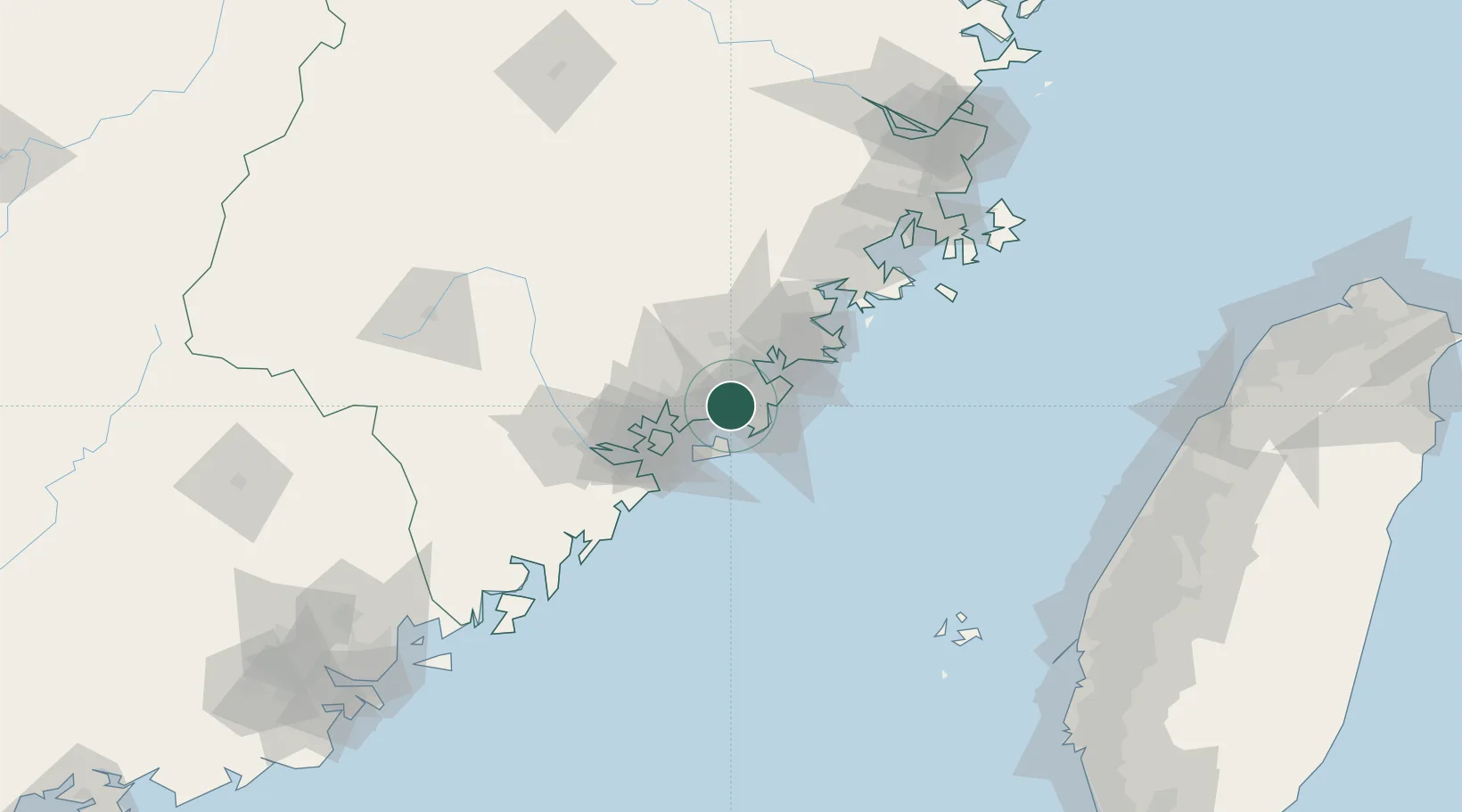
Nearby Logistics Neighbours

Cities
  1. 1Shijing7 km
  2. 2Jinjiang Dry Port13 km
  3. 3Shishi18 km
  4. 4Weitou20 km
  5. 5Shenhu21 km
Nearest neighbours — logibook spatial index (haversine) over the source coordinates
Ports
  1. 1Quanzhou28 km
  2. 2Zhangzhou32 km
  3. 3Xiamen47 km
  4. 4Xiuyu82 km
  5. 5Dongshan141 km
Nearest neighbours — logibook spatial index (haversine) over the source coordinates
Airports
  1. 1Quanzhou Jinjiang International Airport19 km
  2. 2Kinmen Airport29 km
  3. 3Xiamen Gaoqi International Airport37 km
  4. 4Huian Air Base53 km
  5. 5Longtian Air Base142 km
Nearest neighbours — logibook spatial index (haversine) over the source coordinates
Trade Zones
  1. 1Quanzhou Export Processing Zone21 km
  2. 2Xiangan Industrial Park25 km
  3. 3Tongan Industrial Park32 km
  4. 4Nanan Economic Development Zone45 km
  5. 5Xiamen Export Processing Zone51 km
Nearest neighbours — logibook spatial index (haversine) over the source coordinates
DatabookThe Record of Consolidated Knowledge
China beyond logistics?
Browse databook

All Sources

LocationsUN/LOCODE
UN/LOCODE — free
Portsthe NGA World Port Index
Public domain (US gov)
AirportsOurAirports
Public domain
Trade Zonesthe World Bank SEZ database
CC BY 4.0
Trade ZonesOpen Zone Map
CC BY
← China locations