Transport Functions
Port
Road
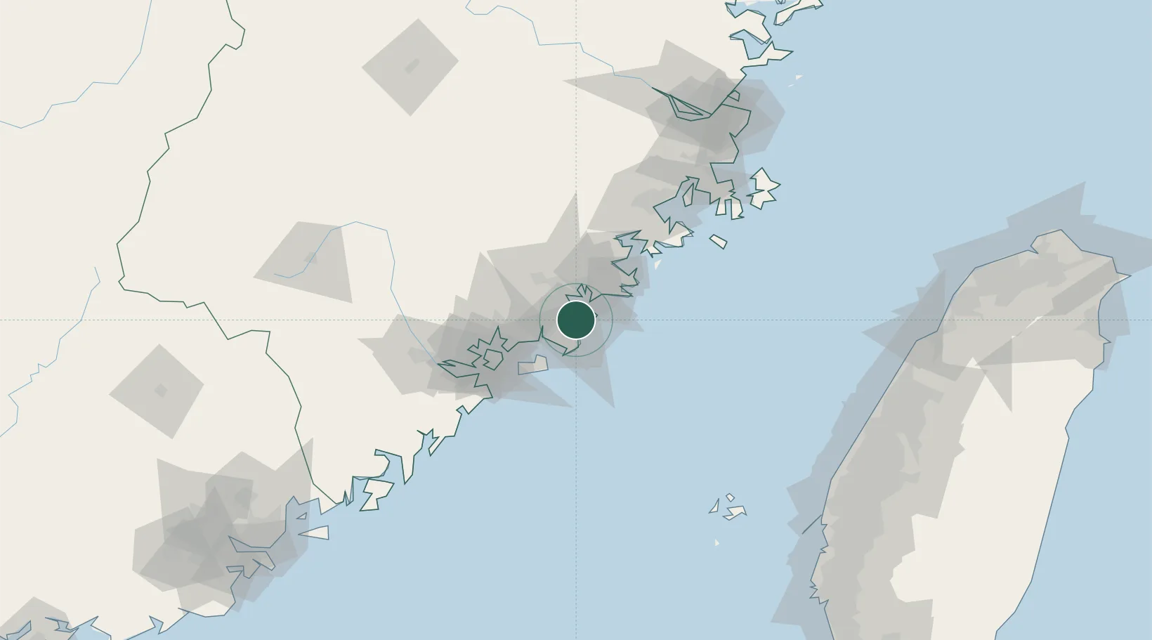
Hub Profile
Place type
District seat
Region
Fujian
Time zone
Asia/Shanghai
Elevation
15 m
Location
Nearby Logistics Neighbours
Cities
- 1Shenhu13 km
- 2Xiangzhi14 km
- 3Houzhu17 km
- 4Dongshi18 km
- 5Jinjiang Dry Port21 km
Ports
- 1Quanzhou17 km
- 2Zhangzhou49 km
- 3Xiamen65 km
- 4Xiuyu66 km
- 5Peng-Hu Kang157 km
Airports
- 1Quanzhou Jinjiang International Airport8 km
- 2Huian Air Base37 km
- 3Kinmen Airport44 km
- 4Xiamen Gaoqi International Airport55 km
- 5Longtian Air Base125 km
Trade Zones
DatabookThe Record of Consolidated Knowledge
China beyond logistics?