About
Methodology
Sources
Licensing
English
EN
English
TR
Türkçe
DE
Deutsch
FR
Français
ES
Español
IT
Italiano
PT
Português
NL
Nederlands
PL
Polski
RU
Русский
UK
Українська
CS
Čeština
RO
Română
EL
Ελληνικά
BG
Български
AR
العربية
FA
فارسی
UR
اردو
HI
हिन्दी
BN
বাংলা
ID
Bahasa Indonesia
VI
Tiếng Việt
ZH
中文
JA
日本語
KO
한국어
logibook
/
Countries
/
China
/
Locations
/
Yizheng
UN/LOCODE hub ·
China
CN
YIZ
Yizheng
32.2667°, 119.1667°
2
Transport functions
Transport Functions
Port
Road
UN/LOCODE
Hub Profile
Place type
Populated place
GeoNames
Region
Yunnan
GeoNames
Time zone
Asia/Shanghai
GeoNames
Elevation
1,925 m
GeoNames
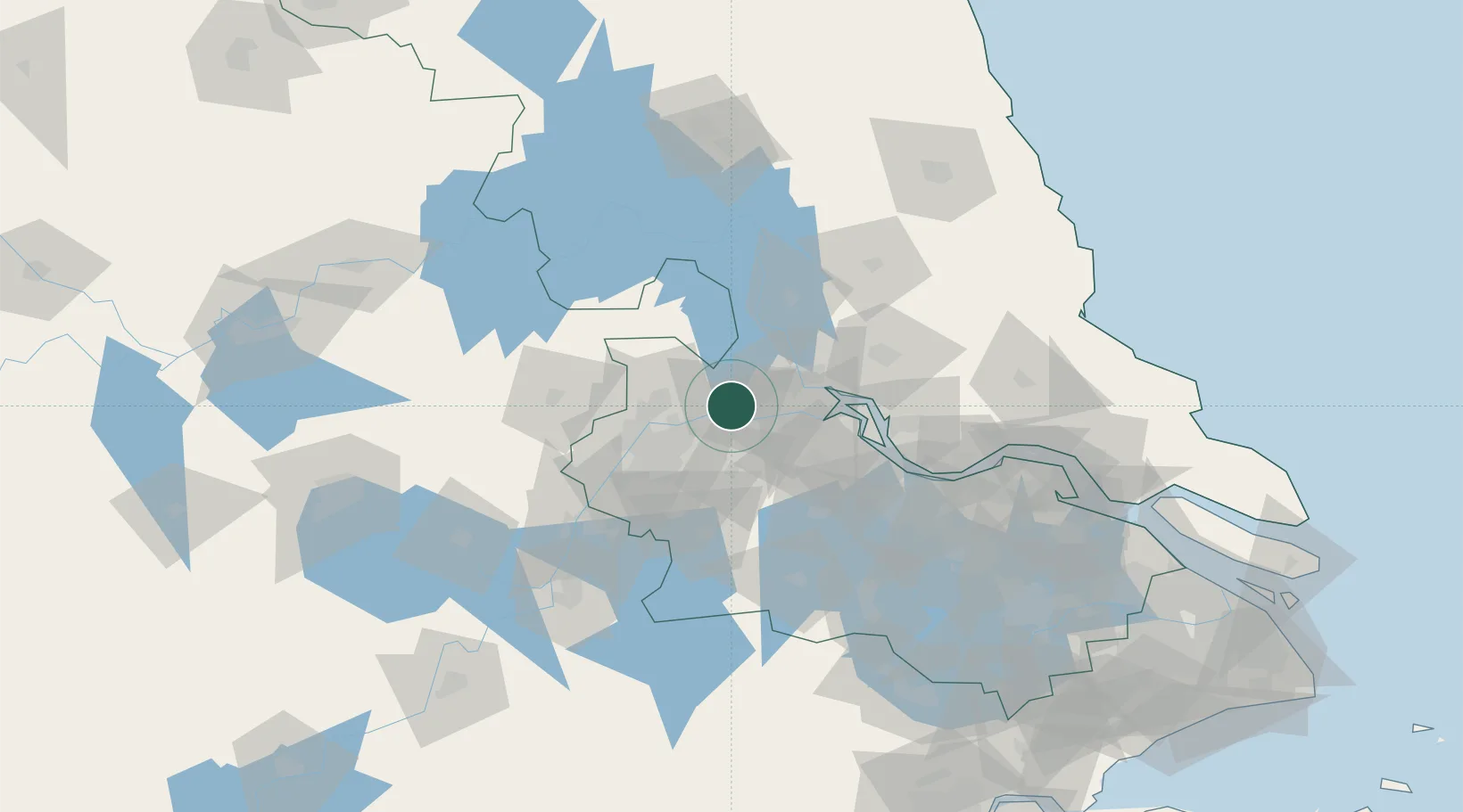
Location
Natural Earth 10m (public domain) · Yunnan · CNYIZ · 32.27, 119.17
Google ↗
OSM ↗
Yandex ↗
Nearby Logistics Neighbours
Cities
1
Yangzhou
26 km
2
Nanjing
31 km
3
Jurong
39 km
4
Zhenjiang
45 km
5
Yangzhong
61 km
Nearest neighbours — logibook spatial index (haversine) over the source coordinates
Ports
1
Yangzhou
25 km
2
Zhenjiang
26 km
3
Nanjing
44 km
4
Gaogang
64 km
5
Changzhou
84 km
Nearest neighbours — logibook spatial index (haversine) over the source coordinates
Airports
1
Yangzhou Taizhou Airport
62 km
2
Nanjing Lukou International Airport
66 km
3
Changzhou Benniu International Airport
69 km
4
Rugao Air Base
126 km
5
Wuhu Xuanzhou Airport
138 km
Nearest neighbours — logibook spatial index (haversine) over the source coordinates
Trade Zones
1
Yangzhou Chemical Industrial Park
1 km
2
Yizheng Economic Development Zone
8 km
3
Yizheng Economic Development Zone
8 km
4
Dantu Economic Development Park
19 km
5
Dantu Economic Development Zone
19 km
Nearest neighbours — logibook spatial index (haversine) over the source coordinates
Data
book
The Record of Consolidated Knowledge
China beyond logistics?
Browse databook
→
All Sources
Locations
UN/LOCODE
UN/LOCODE — free
↗
Ports
the NGA World Port Index
Public domain (US gov)
↗
Airports
OurAirports
Public domain
↗
Trade Zones
the World Bank SEZ database
CC BY 4.0
↗
Trade Zones
Open Zone Map
CC BY
↗
← China locations