Diversified Zone · China

Baixia High-tech Industrial Park Active
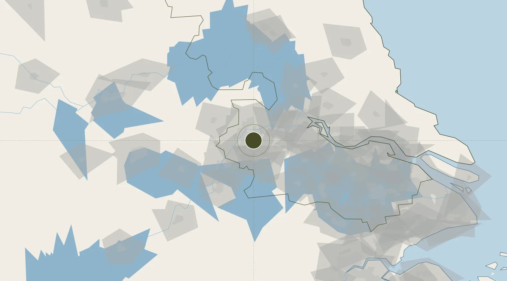
32.0278°, 118.8704°
214 ha
Zone area
12.9 km
Nearest port
32.6 km
Nearest airport

Gateway access

Nearest neighbours — logibook spatial index (haversine) over the source coordinates

Zone profile

Zone type
Diversified Zone
Open Zone Map
Region
Jiangsu
Open Zone Map
Status
Active
Open Zone Map
Management
Public
Open Zone Map
Operator
Management Committee of Baixia High-tech Industrial Park
Open Zone Map
Legal framework
Founded in 2001
Open Zone Map

Location

Location of ozm-374
Natural Earth 10m (public domain) · Jiangsu · ozm-374 · 32.03, 118.87GoogleOSMYandex

Nearby Logistics Neighbours

Ports
  1. 1Nanjing13 km
  2. 2Zhenjiang57 km
  3. 3Yangzhou59 km
  4. 4Gaogang97 km
  5. 5Changzhou105 km
Nearest neighbours — logibook spatial index (haversine) over the source coordinates
Airports
  1. 1Nanjing Lukou International Airport33 km
  2. 2Changzhou Benniu International Airport86 km
  3. 3Yangzhou Taizhou Airport100 km
  4. 4Wuhu Xuanzhou Airport105 km
  5. 5Feidong Air Base115 km
Nearest neighbours — logibook spatial index (haversine) over the source coordinates
Cities
  1. 1Nanjing10 km
  2. 2Jurong31 km
  3. 3Yizheng39 km
  4. 4Wujiang44 km
  5. 5Ma'anshan52 km
Nearest neighbours — logibook spatial index (haversine) over the source coordinates
Trade Zones
  1. 1Nanjing Xuzhuang Software Park8 km
  2. 2Jiangning Economic Development Zone13 km
  3. 3Nanjing Export Processing Zone17 km
  4. 4Nanjing Pearl Spring Tourist and Holiday Resort22 km
  5. 5Yuhua Economic Development Zone22 km
Nearest neighbours — logibook spatial index (haversine) over the source coordinates
DatabookThe Record of Consolidated Knowledge
China beyond logistics?
Browse databook

All Sources

Trade ZonesOpen Zone Map
CC BY
Portsthe NGA World Port Index
Public domain (US gov)
AirportsOurAirports
Public domain
LocationsUN/LOCODE
UN/LOCODE — free
← China trade zones