UN/LOCODE hub · China
CNBIH

Beihai Pt

21.4667°, 109.1167°
1
Transport functions

Transport Functions

Port
Beihai Pt is also a profiled seaport →
UN/LOCODE

Hub Profile

Region
GX
GeoNames

Location

Location of CNBIH
Natural Earth 10m (public domain) · GX · CNBIH · 21.47, 109.12GoogleOSMYandex

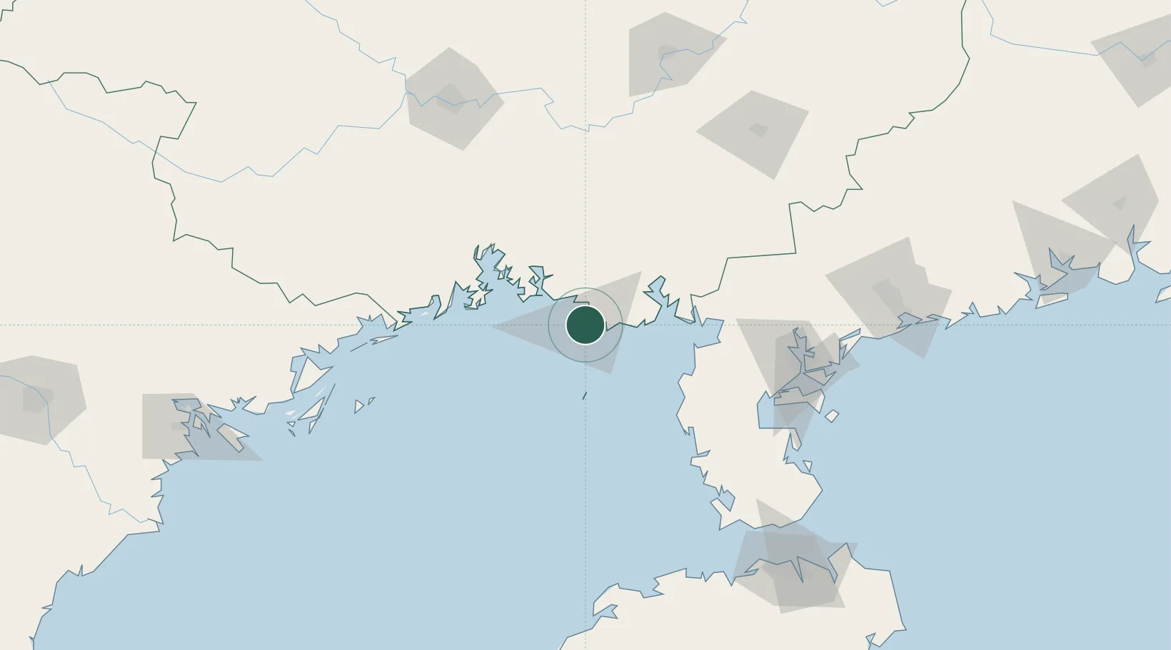
Nearby Logistics Neighbours

Cities
  1. 1Beihai9 km
  2. 2Shitoubu Pt47 km
  3. 3Qinzhou47 km
  4. 4Qisha Pt69 km
  5. 5Anpu75 km
Nearest neighbours — logibook spatial index (haversine) over the source coordinates
Ports
  1. 1Qinzhou63 km
  2. 2Fang-Cheng85 km
  3. 3Zhanjiang136 km
  4. 4Cam Pha188 km
  5. 5Chiwan192 km
Nearest neighbours — logibook spatial index (haversine) over the source coordinates
Airports
  1. 1Beihai Fucheng Airport20 km
  2. 2Suixi Air Base112 km
  3. 3Yulin Fumian Airport149 km
  4. 4Zhanjiang Wuchuan International Airport153 km
  5. 5Nanning Wuxu International Airport159 km
Nearest neighbours — logibook spatial index (haversine) over the source coordinates
Trade Zones
  1. 1Beihai Export Processing Zone4 km
  2. 2Hepu Industrial Park13 km
  3. 3Linha Industrial Zone (Tieshan Port)33 km
  4. 4Qinzhou Port Economic Development Zone60 km
  5. 5Beibu Gulf Economic Zone80 km
Nearest neighbours — logibook spatial index (haversine) over the source coordinates
DatabookThe Record of Consolidated Knowledge
China beyond logistics?
Browse databook

All Sources

LocationsUN/LOCODE
UN/LOCODE — free
Portsthe NGA World Port Index
Public domain (US gov)
AirportsOurAirports
Public domain
Trade Zonesthe World Bank SEZ database
CC BY 4.0
Trade ZonesOpen Zone Map
CC BY
← China locations