Export Processing Zone · China

Beihai Export Processing Zone Active
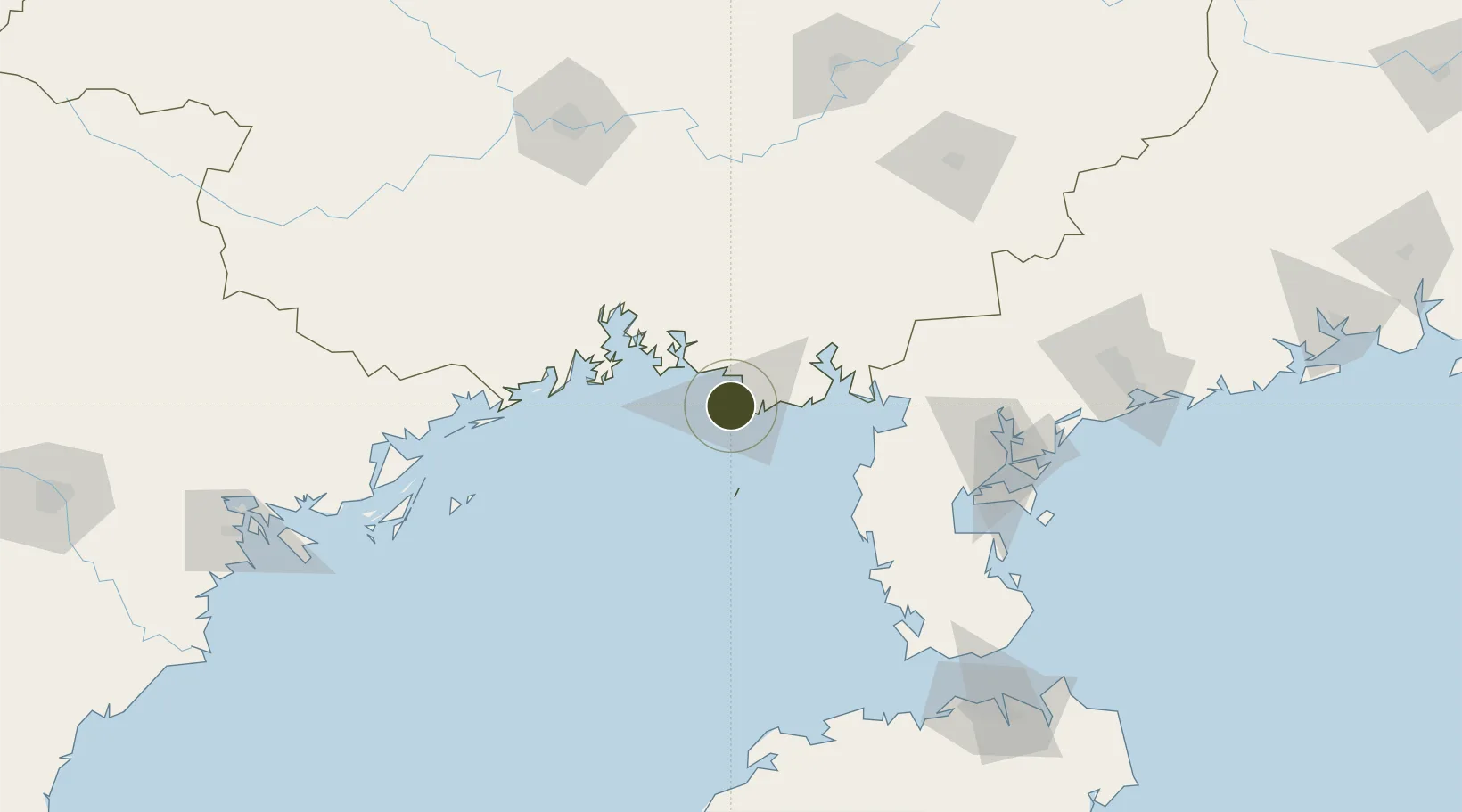
21.4576°, 109.0836°
1,344 ha
Zone area
3.4 km
Nearest port
23.5 km
Nearest airport

Gateway access

Nearest neighbours — logibook spatial index (haversine) over the source coordinates

Zone profile

Zone type
Export Processing Zone
the World Bank SEZ database
Region
Guangxi
the World Bank SEZ database
Status
Active
the World Bank SEZ database
Established
2006
the World Bank SEZ database
Management
Public agency
the World Bank SEZ database
Operator
Administrative Committee of Beihai Export Processing Zone
the World Bank SEZ database
Regulatory authority
Administrative Commission
the World Bank SEZ database
Legal framework
State or Provincial Council Decree
the World Bank SEZ database

Location

Location of CHN1
Natural Earth 10m (public domain) · Guangxi · CHN1 · 21.46, 109.08GoogleOSMYandex

Fiscal & incentives

Corporate tax
25%
the World Bank SEZ database
Tax relief
Reduced fixed-rate at 15% for high-tech enterprises
the World Bank SEZ database
Relief duration
Perpetual
the World Bank SEZ database
VAT
100% exempt on VAT on inputs and capex; reduced fixed-rate VAT at 13% for agricultural-related activities
the World Bank SEZ database
Import duty (inputs)
100% exempt
the World Bank SEZ database
Import duty (capex)
100% exempt
the World Bank SEZ database
Profit repatriation
No exemption
the World Bank SEZ database
Capital gains
No exemption
the World Bank SEZ database
Withholding tax
No exemption
the World Bank SEZ database
Min. investment
None
the World Bank SEZ database
Min. export
100%
the World Bank SEZ database
Employment incentive
No exemption
the World Bank SEZ database
Developer incentive
Under review
the World Bank SEZ database

Nearby Logistics Neighbours

Ports
  1. 1Beihai3 km
  2. 2Qinzhou60 km
  3. 3Fang-Cheng83 km
  4. 4Zhanjiang139 km
  5. 5Cam Pha184 km
Nearest neighbours — logibook spatial index (haversine) over the source coordinates
Airports
  1. 1Beihai Fucheng Airport24 km
  2. 2Suixi Air Base116 km
  3. 3Yulin Fumian Airport152 km
  4. 4Zhanjiang Wuchuan International Airport156 km
  5. 5Nanning Wuxu International Airport157 km
Nearest neighbours — logibook spatial index (haversine) over the source coordinates
Cities
  1. 1Beihai Pt4 km
  2. 2Beihai13 km
  3. 3Shitoubu Pt50 km
  4. 4Qinzhou50 km
  5. 5Qisha Pt65 km
Nearest neighbours — logibook spatial index (haversine) over the source coordinates
Trade Zones
  1. 1Hepu Industrial Park16 km
  2. 2Linha Industrial Zone (Tieshan Port)37 km
  3. 3Qinzhou Port Economic Development Zone58 km
  4. 4Qinbei District Economic and Technological Development Zone80 km
  5. 5Fangcheng Industrial Park81 km
Nearest neighbours — logibook spatial index (haversine) over the source coordinates
DatabookThe Record of Consolidated Knowledge
China beyond logistics?
Browse databook

All Sources

Trade Zonesthe World Bank SEZ database
CC BY 4.0
Portsthe NGA World Port Index
Public domain (US gov)
AirportsOurAirports
Public domain
LocationsUN/LOCODE
UN/LOCODE — free
← China trade zones