Transport Functions
Rail
Road
Airport
Hub Profile
Place type
Provincial seat
Region
Guangxi
Population
525,329
Time zone
Asia/Shanghai
Logistics facilities
7
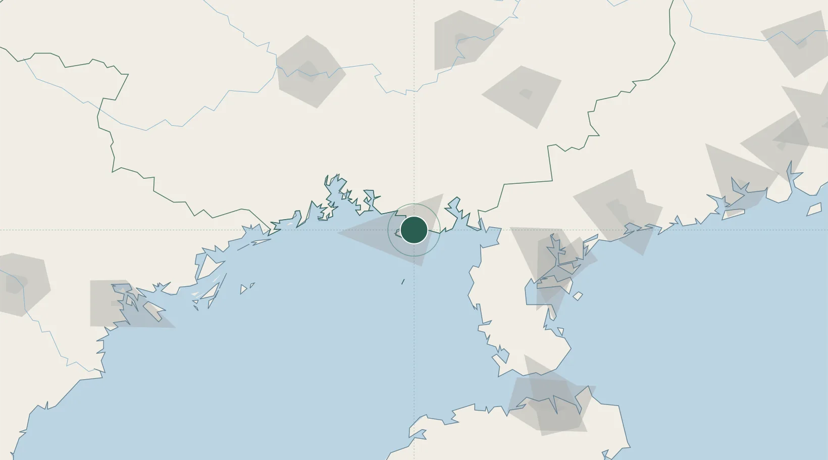
Location
Nearby Logistics Neighbours
Cities
- 1Beihai Pt9 km
- 2Shitoubu Pt37 km
- 3Qinzhou41 km
- 4Anpu66 km
- 5Qisha Pt77 km
Ports
- 1Beihai14 km
- 2Qinzhou70 km
- 3Fang-Cheng93 km
- 4Zhanjiang128 km
- 5Chiwan189 km
Airports
- 1Beihai Fucheng Airport11 km
- 2Suixi Air Base103 km
- 3Yulin Fumian Airport142 km
- 4Zhanjiang Wuchuan International Airport143 km
- 5Nanning Wuxu International Airport163 km
Trade Zones
DatabookThe Record of Consolidated Knowledge
China beyond logistics?