UN/LOCODE hub · Chile
CLIQQ
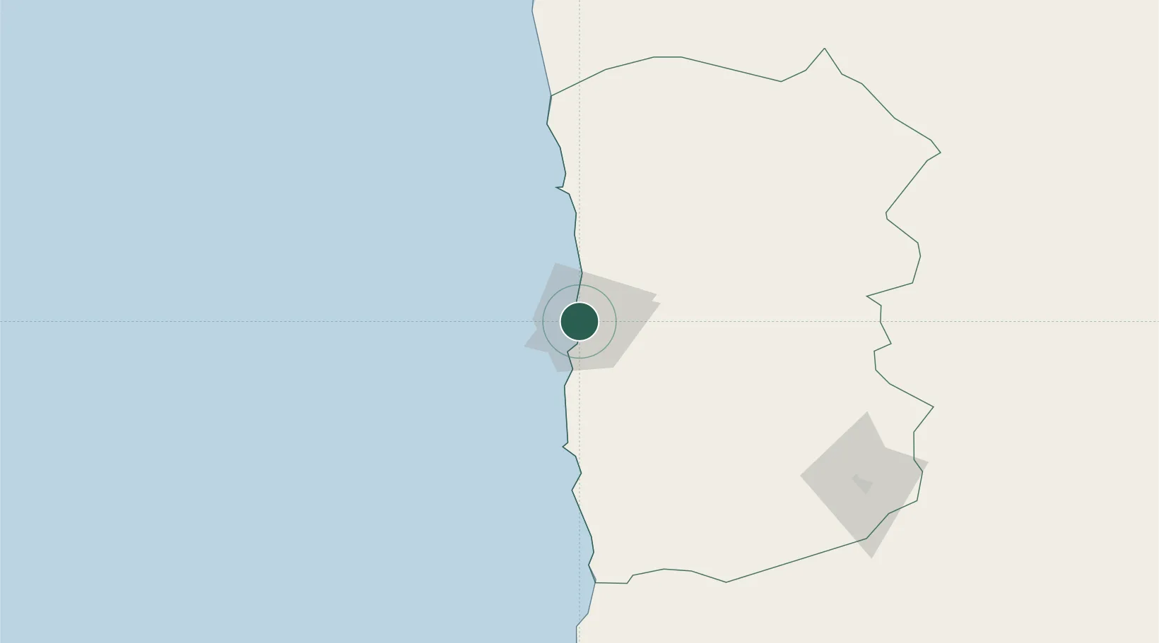
Iquique
-20.2257°, -70.1356°
199,587
Population
2
Transport functions
1
Container terminals
Transport Functions
Port
Airport
Hub Profile
Place type
Regional capital
Region
Tarapacá
Population
199,587
Time zone
America/Santiago
Elevation
15 m
Logistics facilities
10
Container terminals
1
Location
Nearby Logistics Neighbours
Cities
- 1Patillos59 km
- 2Caleta Patillos59 km
- 3Puerto Patache64 km
- 4Punta Patache66 km
- 5Pisagua70 km
Ports
- 1Caleta Patillos57 km
- 2Rada De Arica197 km
- 3Tocopilla207 km
- 4Puerto Ilo316 km
- 5Mejillones321 km
Airports
Trade Zones
DatabookThe Record of Consolidated Knowledge
Chile beyond logistics?