Transport Functions
Multimodal
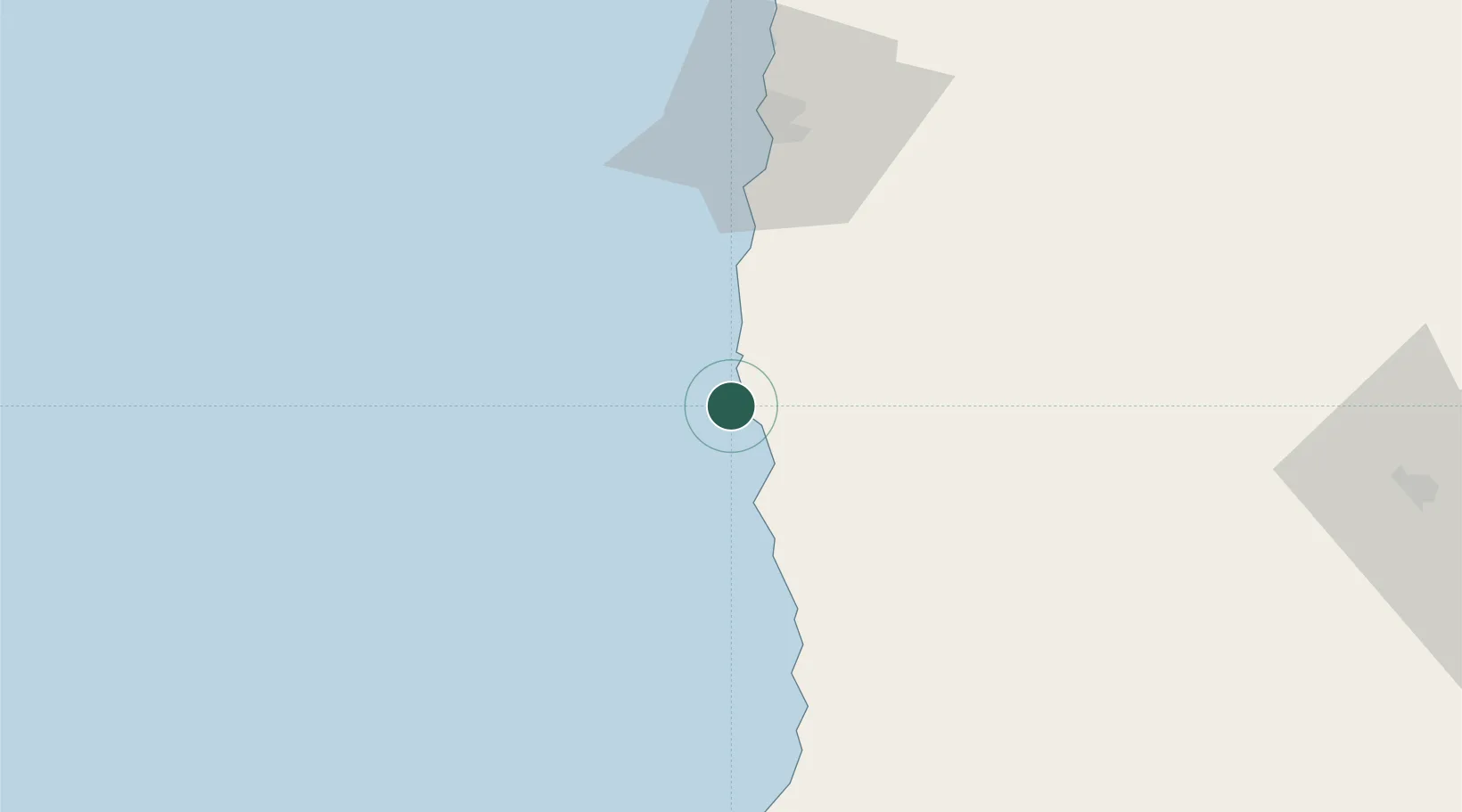
Location
Nearby Logistics Neighbours
Cities
- 1Puerto Patache3 km
- 2Caleta Patillos8 km
- 3Patillos8 km
- 4Iquique66 km
- 5Pisagua135 km
Ports
- 1Caleta Patillos9 km
- 2Iquique69 km
- 3Tocopilla141 km
- 4Mejillones255 km
- 5Rada De Arica262 km
Airports
Trade Zones
DatabookThe Record of Consolidated Knowledge
Chile beyond logistics?