UN/LOCODE hub · Chile
CLTAL

Talcahuano

-36.7416°, -73.1157°
150,499
Population
3
Transport functions

Transport Functions

Port
Rail
Road
Talcahuano is also a profiled seaport →
UN/LOCODE

Hub Profile

Place type
Populated place
GeoNames
Region
Biobío
GeoNames
Population
150,499
GeoNames
Time zone
America/Santiago
GeoNames
Elevation
15 m
GeoNames
Logistics facilities
4
UN/LOCODE

Location

Location of CLTAL
Natural Earth 10m (public domain) · Biobío · CLTAL · -36.74, -73.12GoogleOSMYandex

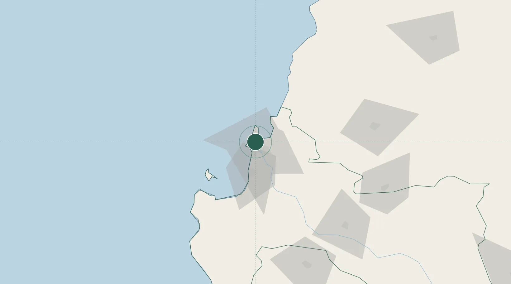
Nearby Logistics Neighbours

Cities
  1. 1San Vicente2 km
  2. 2Concepción10 km
  3. 3Lirquén12 km
  4. 4Penco12 km
  5. 5Chiguayante21 km
Nearest neighbours — logibook spatial index (haversine) over the source coordinates
Ports
  1. 1Bahia San Vicente5 km
  2. 2Penco11 km
  3. 3Lirquen12 km
  4. 4Coronel33 km
  5. 5Lota40 km
Nearest neighbours — logibook spatial index (haversine) over the source coordinates
Airports
  1. 1Carriel Sur International Airport6 km
  2. 2Gral. Bernardo O´Higgins Airport98 km
  3. 3Victoria Airport180 km
  4. 4Panguilemo Airport204 km
  5. 5Maquehue Airport229 km
Nearest neighbours — logibook spatial index (haversine) over the source coordinates
Trade Zones
  1. 1Zona Franca Zapala (Zapala Free Trade Zone)355 km
  2. 2Zona Franca Mendoza Free Trade Zone556 km
  3. 3Zona Franca de San Luis789 km
  4. 4Justo Daract Free Trade Zone789 km
  5. 5General Pico Free Zone845 km
Nearest neighbours — logibook spatial index (haversine) over the source coordinates
DatabookThe Record of Consolidated Knowledge
Chile beyond logistics?
Browse databook

All Sources

LocationsUN/LOCODE
UN/LOCODE — free
LocationsGeoNames
CC BY 4.0
Portsthe NGA World Port Index
Public domain (US gov)
AirportsOurAirports
Public domain
Trade Zonesthe World Bank SEZ database
CC BY 4.0
Trade ZonesOpen Zone Map
CC BY
← Chile locations