Transport Functions
Port
Rail
Road
Airport
Postal
Hub Profile
Place type
Regional capital
Region
Biobío
Population
223,574
Time zone
America/Santiago
Elevation
36 m
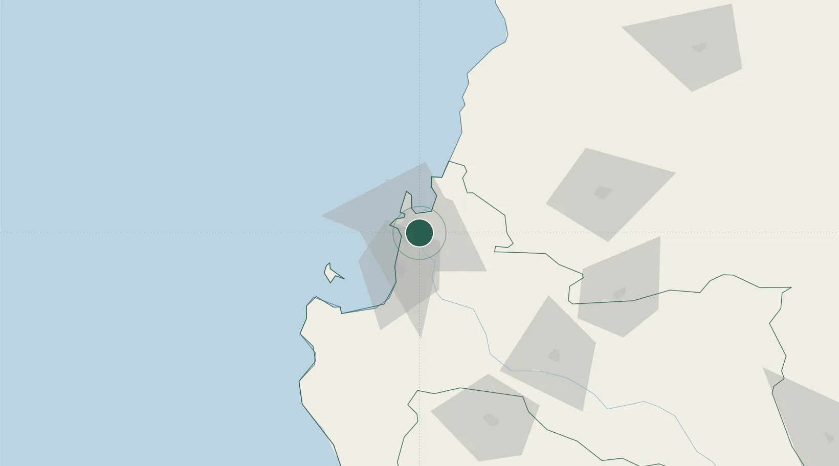
Location
Nearby Logistics Neighbours
Cities
- 1Talcahuano10 km
- 2Chiguayante12 km
- 3San Vicente13 km
- 4Penco13 km
- 5Lirquén13 km
Ports
- 1Penco12 km
- 2Lirquen13 km
- 3Talcahuano14 km
- 4Bahia San Vicente14 km
- 5Coronel26 km
Airports
- 1Carriel Sur International Airport5 km
- 2Gral. Bernardo O´Higgins Airport95 km
- 3Victoria Airport171 km
- 4Panguilemo Airport206 km
- 5Maquehue Airport220 km
Trade Zones
DatabookThe Record of Consolidated Knowledge
Chile beyond logistics?