UN/LOCODE hub · Côte d’Ivoire
CIJAC
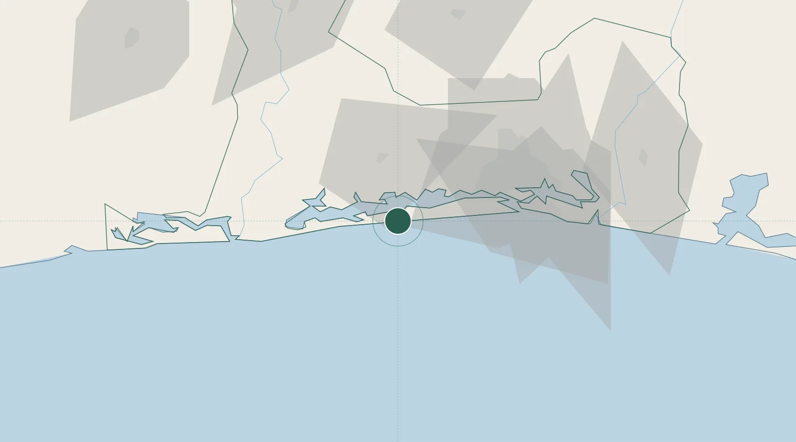
Jacqueville
5.2000°, -4.4167°
14,383
Population
1
Transport functions
Transport Functions
Port
Hub Profile
Place type
District seat
Region
Lagunes District
Population
14,383
Time zone
Africa/Abidjan
Elevation
12 m
Location
Nearby Logistics Neighbours
Cities
- 1Dabou14 km
- 2Espoir15 km
- 3Baobab Terminal32 km
- 4Abidjan44 km
- 5Vridi48 km
Ports
- 1Espoir Marine Terminal17 km
- 2Baobab Marine Terminal30 km
- 3Abidjan45 km
- 4Port Bouet50 km
- 5San Pedro249 km
Airports
- 1Félix-Houphouët-Boigny International Airport55 km
- 2Yamoussoukro International Airport217 km
- 3San Pedro Airport254 km
- 4Daloa Airport288 km
- 5Bouaké Airport292 km
Trade Zones
- 1PK 24 Industrial Park37 km
- 2Vridi Industrial Park47 km
- 3Koumassi Industrial Park53 km
- 4Mahatma Ghandi Free Trade Zone73 km
- 5Bonoua Industrial Park94 km
DatabookThe Record of Consolidated Knowledge
Côte d’Ivoire beyond logistics?