Transport Functions
Port
Road
Hub Profile
Place type
Populated place
Region
Lagunes District
Population
138,083
Time zone
Africa/Abidjan
Elevation
21 m
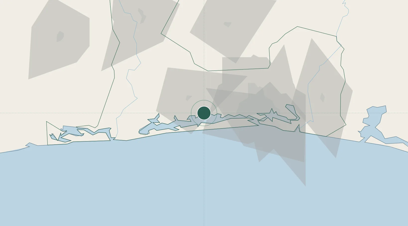
Location
Nearby Logistics Neighbours
Cities
- 1Jacqueville14 km
- 2Espoir28 km
- 3Abidjan36 km
- 4Cocody41 km
- 5Vridi43 km
Ports
- 1Espoir Marine Terminal31 km
- 2Abidjan40 km
- 3Baobab Marine Terminal44 km
- 4Port Bouet45 km
- 5San Pedro257 km
Airports
- 1Félix-Houphouët-Boigny International Airport49 km
- 2Yamoussoukro International Airport208 km
- 3San Pedro Airport262 km
- 4Bouaké Airport280 km
- 5Daloa Airport285 km
Trade Zones
- 1PK 24 Industrial Park26 km
- 2Vridi Industrial Park41 km
- 3Koumassi Industrial Park47 km
- 4Mahatma Ghandi Free Trade Zone68 km
- 5Bonoua Industrial Park88 km
DatabookThe Record of Consolidated Knowledge
Côte d’Ivoire beyond logistics?