UN/LOCODE hub · Argentina
ARRSF

Resinfor

-32.6500°, -60.7333°
1
Transport functions

Transport Functions

Port
UN/LOCODE

Hub Profile

Region
S
GeoNames

Location

Location of ARRSF
Natural Earth 10m (public domain) · S · ARRSF · -32.65, -60.73GoogleOSMYandex

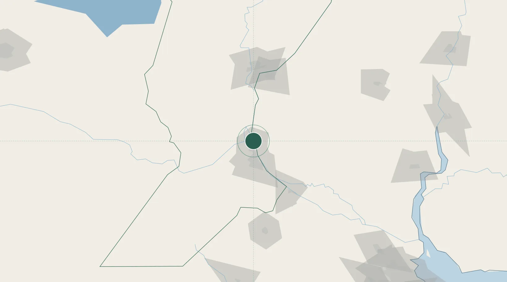
Nearby Logistics Neighbours

Cities
  1. 1Quebracho/San Lorenzo2 km
  2. 2Puerto Alumbrera2 km
  3. 3Timbúes5 km
  4. 4San Martin7 km
  5. 5Fray Luis A. Beltrán15 km
Nearest neighbours — logibook spatial index (haversine) over the source coordinates
Ports
  1. 1Puerto San Martin7 km
  2. 2San Lorenzo11 km
  3. 3Rosario35 km
  4. 4Diamante65 km
  5. 5Villa Constitucion75 km
Nearest neighbours — logibook spatial index (haversine) over the source coordinates
Airports
  1. 1Rosario Islas Malvinas International Airport29 km
  2. 2General Urquiza Airport98 km
  3. 3Sauce Viejo Airport105 km
  4. 4(Duplicate)Aeropuerto Pergamino139 km
  5. 5Gualeguaychu Airport202 km
Nearest neighbours — logibook spatial index (haversine) over the source coordinates
Trade Zones
  1. 1Zona Franca UPM237 km
  2. 2UPM Fray Bentos Free Zone237 km
  3. 3Nueva Palmira Free Zone256 km
  4. 4Zona Sur Buenos Aires303 km
  5. 5Montes de Plata Free Zone304 km
Nearest neighbours — logibook spatial index (haversine) over the source coordinates
DatabookThe Record of Consolidated Knowledge
Argentina beyond logistics?
Browse databook

All Sources

LocationsUN/LOCODE
UN/LOCODE — free
Portsthe NGA World Port Index
Public domain (US gov)
AirportsOurAirports
Public domain
Trade Zonesthe World Bank SEZ database
CC BY 4.0
Trade ZonesOpen Zone Map
CC BY
← Argentina locations