Transport Functions
Road
Multimodal
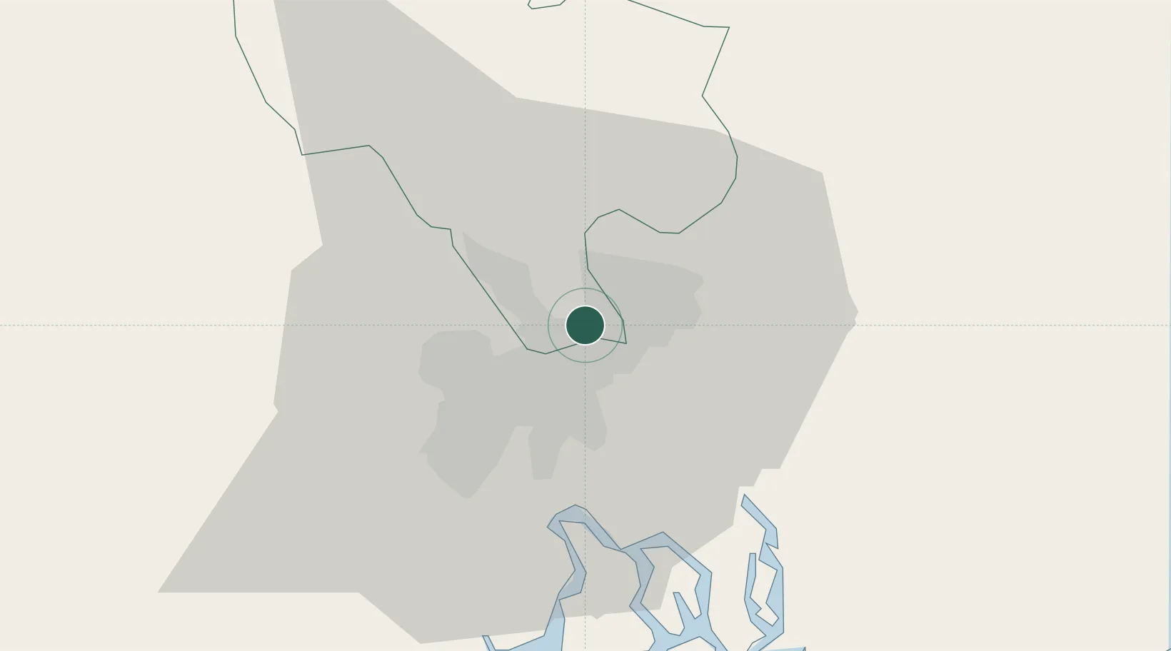
Hub Profile
Place type
Provincial seat
Region
Ho Chi Minh City (HCMC)
Population
463,023
Time zone
Asia/Ho_Chi_Minh
Elevation
32 m
Logistics facilities
2
Location
Nearby Logistics Neighbours
Cities
- 1Binh Duong4 km
- 2Binh Duong Terminal6 km
- 3Long Binh Tan6 km
- 4Dong Nai9 km
- 5Tan Cang - Long Binh ICD9 km
Ports
- 1Thanh Hoa11 km
- 2Thanh Ho Chi Minh18 km
- 3Cat Lai18 km
- 4Phu My45 km
- 5Vung Tau73 km
Airports
Trade Zones
DatabookThe Record of Consolidated Knowledge
Vietnam beyond logistics?