Industrial Zone · Vietnam

Amata Industrial Park Active
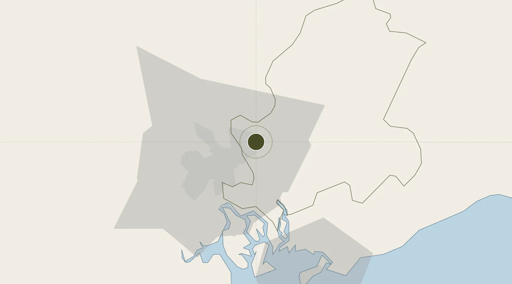
10.9429°, 106.8937°
528,630 ha
Zone area
19.7 km
Nearest port
24.8 km
Nearest airport

Gateway access

Nearest neighbours — logibook spatial index (haversine) over the source coordinates

Zone profile

Zone type
Industrial Zone
the World Bank SEZ database
Region
Đông Nam Bộ
the World Bank SEZ database
Status
Active
the World Bank SEZ database
Established
1995
the World Bank SEZ database
Management
PPP
the World Bank SEZ database
Operator
Amata Group joint venture
the World Bank SEZ database
Regulatory authority
Chairmen of Provincial People's Committees
the World Bank SEZ database
Legal framework
Law on Foreign Investment in Vietnam, 1996; Decree No. 36/1997/CP on The Regulation of Industrial, Economic and Export processing zones
the World Bank SEZ database

Location

Location of VNM162
Natural Earth 10m (public domain) · Đông Nam Bộ · VNM162 · 10.94, 106.89GoogleOSMYandex

Fiscal & incentives

Corporate tax
20%
the World Bank SEZ database
Tax relief
100% exempt
the World Bank SEZ database
Relief duration
4 years
the World Bank SEZ database
VAT
No exemption
the World Bank SEZ database
Import duty (inputs)
0% exempt
the World Bank SEZ database
Import duty (capex)
100% exempt
the World Bank SEZ database
Profit repatriation
No exemption
the World Bank SEZ database
Capital gains
No exemption
the World Bank SEZ database
Withholding tax
No exemption
the World Bank SEZ database
Min. investment
None
the World Bank SEZ database
Min. export
0%
the World Bank SEZ database
Employment incentive
No exemption
the World Bank SEZ database
Developer incentive
No established framework
the World Bank SEZ database

Nearby Logistics Neighbours

Ports
  1. 1Thanh Hoa20 km
  2. 2Cat Lai25 km
  3. 3Thanh Ho Chi Minh28 km
  4. 4Phu My43 km
  5. 5Vung Tau72 km
Nearest neighbours — logibook spatial index (haversine) over the source coordinates
Airports
  1. 1Long Thanh International Airport (Under Construction)25 km
  2. 2Tan Son Nhat International Airport30 km
  3. 3Can Tho International Airport161 km
  4. 4Lien Khuong Airport184 km
  5. 5Techo International Airport220 km
Nearest neighbours — logibook spatial index (haversine) over the source coordinates
Cities
  1. 1Tan Cang - Long Binh ICD6 km
  2. 2Dong Nai6 km
  3. 3Long Binh Tan7 km
  4. 4Binh Duong Terminal8 km
  5. 5Di An12 km
Nearest neighbours — logibook spatial index (haversine) over the source coordinates
Trade Zones
  1. 1Loteco Industrial Park2 km
  2. 2Bien Hoa I Industrial Park5 km
  3. 3Song May Industrial Park8 km
  4. 4Tan Dong Hiep B Industrial Zone12 km
  5. 5Long Thanh Industrial Park14 km
Nearest neighbours — logibook spatial index (haversine) over the source coordinates
DatabookThe Record of Consolidated Knowledge
Vietnam beyond logistics?
Browse databook

All Sources

Trade Zonesthe World Bank SEZ database
CC BY 4.0
Portsthe NGA World Port Index
Public domain (US gov)
AirportsOurAirports
Public domain
LocationsUN/LOCODE
UN/LOCODE — free
← Vietnam trade zones