Diversified Zone · Vietnam

Đà Nẵng (An Don) Industrial Zone Active
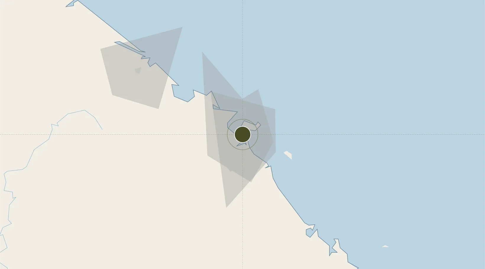
16.0767°, 108.2355°
50 ha
Zone area
3.3 km
Nearest port
5.3 km
Nearest airport

Gateway access

Nearest neighbours — logibook spatial index (haversine) over the source coordinates

Zone profile

Zone type
Diversified Zone
Open Zone Map
Region
Đà Nẵng
Open Zone Map
Status
Active
Open Zone Map
Management
Public-Private Partnership
Open Zone Map
Operator
Massda JVC (Malaysia), Da Nang People's Committee
Open Zone Map
Legal framework
Decree No.82/2018/ND-CP on Management of Industrial Parks and Economic Zones, Decree No 218/2013/ND-CP
Open Zone Map

Location

Location of ozm-5054
Natural Earth 10m (public domain) · Đà Nẵng · ozm-5054 · 16.08, 108.24GoogleOSMYandex

Nearby Logistics Neighbours

Ports
  1. 1Da Nang3 km
  2. 2Qui Nhon278 km
  3. 3Sanya281 km
  4. 4Basuo339 km
  5. 5Nghe Tinh398 km
Nearest neighbours — logibook spatial index (haversine) over the source coordinates
Airports
  1. 1Da Nang International Airport5 km
  2. 2Phu Bai International Airport67 km
  3. 3Chu Lai Airport90 km
  4. 4Pleiku Airport232 km
  5. 5Dong Hoi Airport237 km
Nearest neighbours — logibook spatial index (haversine) over the source coordinates
Cities
  1. 1Da Nang3 km
  2. 2Hai Son3 km
  3. 3Nguyen Van Troi Port4 km
  4. 4Song Han 94 km
  5. 5Tien Sa Terminal6 km
Nearest neighbours — logibook spatial index (haversine) over the source coordinates
Trade Zones
  1. 1Đà Nẵng Seafood Service Industrial Zone2 km
  2. 2Đà Nẵng Hi-Tech Park8 km
  3. 3Hoa Cam Industrial Park10 km
  4. 4Hoa Khanh Industrial Park11 km
  5. 5Da Nang Hi-Tech Park12 km
Nearest neighbours — logibook spatial index (haversine) over the source coordinates
DatabookThe Record of Consolidated Knowledge
Vietnam beyond logistics?
Browse databook

All Sources

Trade ZonesOpen Zone Map
CC BY
Portsthe NGA World Port Index
Public domain (US gov)
AirportsOurAirports
Public domain
LocationsUN/LOCODE
UN/LOCODE — free
← Vietnam trade zones