Transport Functions
Port
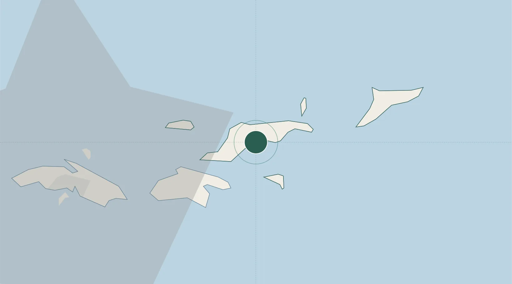
Location
Nearby Logistics Neighbours
Cities
- 1Port Purcell2 km
- 2Sopers Hole10 km
- 3Norman Island11 km
- 4Jost Van Dyke13 km
- 5Cruz Bay, Saint John22 km
Ports
- 1Road Harbor0 km
- 2Cruz Bay22 km
- 3Charlotte Amalie34 km
- 4Christiansted75 km
- 5Limetree Bay81 km
Airports
Trade Zones
- 1FTZ No. 061 San Juan160 km
- 2FTZ No. 163 Ponce209 km
- 3FTZ No. 007 Mayaguez270 km
- 4Free Trade & Processing Zone330 km
- 5Antigua and Barbuda Special Economic Zone (ABSEZ)338 km
DatabookThe Record of Consolidated Knowledge
United Kingdom beyond logistics?