Transport Functions
Road
Multimodal
Hub Profile
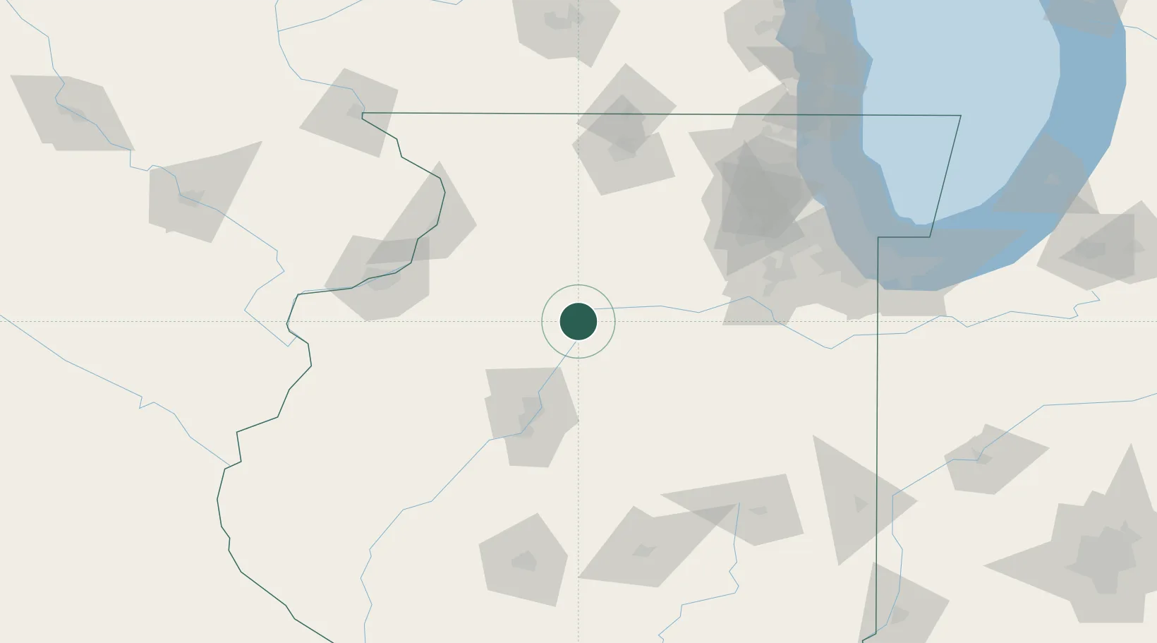
Place type
Provincial seat
Region
Illinois
Population
698
Time zone
America/Chicago
Elevation
153 m
Location
Nearby Logistics Neighbours
Ports
- 1Chicago161 km
- 2Calumet Harbor161 km
- 3Indiana Harbor165 km
- 4Wilmette165 km
- 5Great Lakes171 km
Airports
Trade Zones
- 1FTZ No. 114 Peoria65 km
- 2FTZ No. 176 Rockford112 km
- 3FTZ No. 022 Chicago138 km
- 4FTZ No. 271 Jo-Daviess and Carroll Counties140 km
- 5FTZ No. 055 Burlington156 km
DatabookThe Record of Consolidated Knowledge
United States beyond logistics?