Transport Functions
Port
Rail
Road
Multimodal
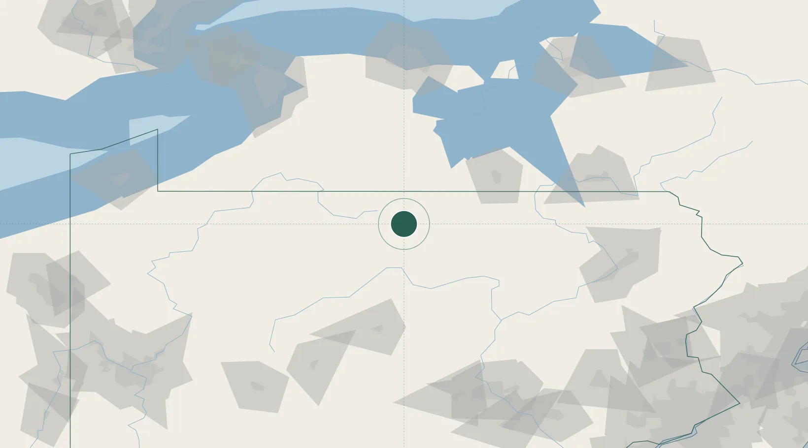
Hub Profile
Place type
Populated place
Region
Pennsylvania
Population
1,124
Time zone
America/New_York
Elevation
402 m
Location
Nearby Logistics Neighbours
Cities
- 1Churchtown27 km
- 2Knoxville31 km
- 3Farmington Hill40 km
- 4Nichols45 km
- 5Little Genesee58 km
Airports
Trade Zones
- 1FTZ No. 254 Jefferson County98 km
- 2FTZ No. 295 Central Pennsylvania113 km
- 3FTZ No. 289 Ontario County121 km
- 4FTZ No. 024 Pittston158 km
- 5FTZ No. 023 Buffalo164 km
DatabookThe Record of Consolidated Knowledge
United States beyond logistics?