Transport Functions
Multimodal
Hub Profile
Place type
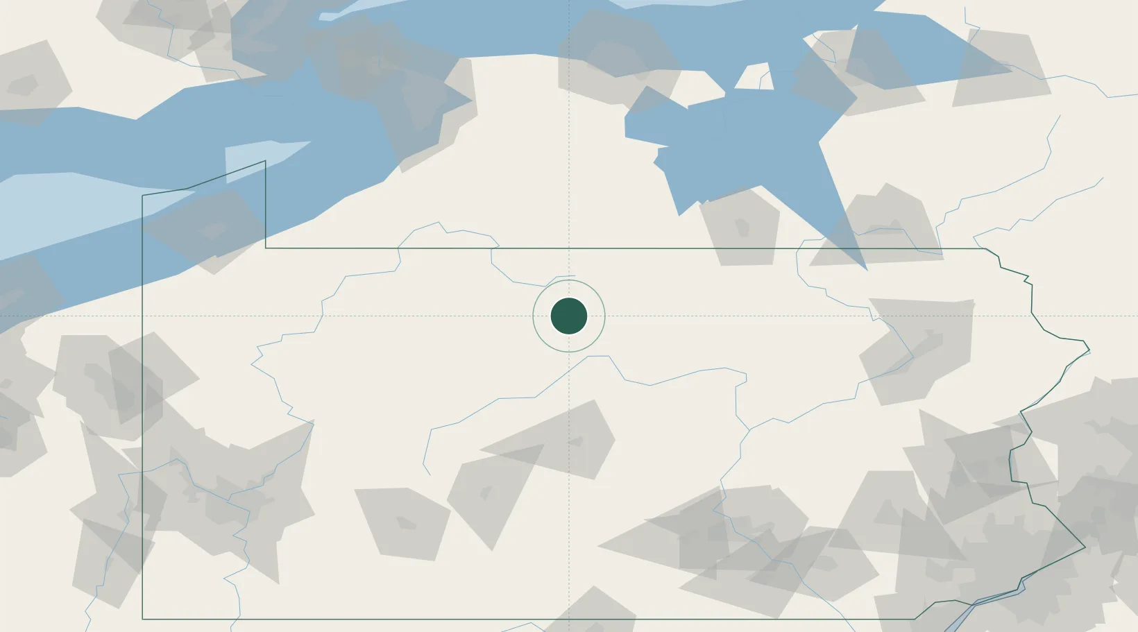
Populated place
Region
Pennsylvania
Time zone
America/New_York
Elevation
157 m
Location
Nearby Logistics Neighbours
Cities
- 1Galeton27 km
- 2Smethport50 km
- 3Little Genesee54 km
- 4Knoxville56 km
- 5Mckean60 km
Ports
- 1Dunkirk155 km
- 2Buffalo166 km
- 3Tonawanda180 km
- 4Port Colborne182 km
- 5Rochester189 km
Airports
Trade Zones
- 1FTZ No. 254 Jefferson County72 km
- 2FTZ No. 295 Central Pennsylvania87 km
- 3FTZ No. 289 Ontario County139 km
- 4FTZ No. 023 Buffalo165 km
- 5FTZ No. 024 Pittston177 km
DatabookThe Record of Consolidated Knowledge
United States beyond logistics?