Transport Functions
Multimodal
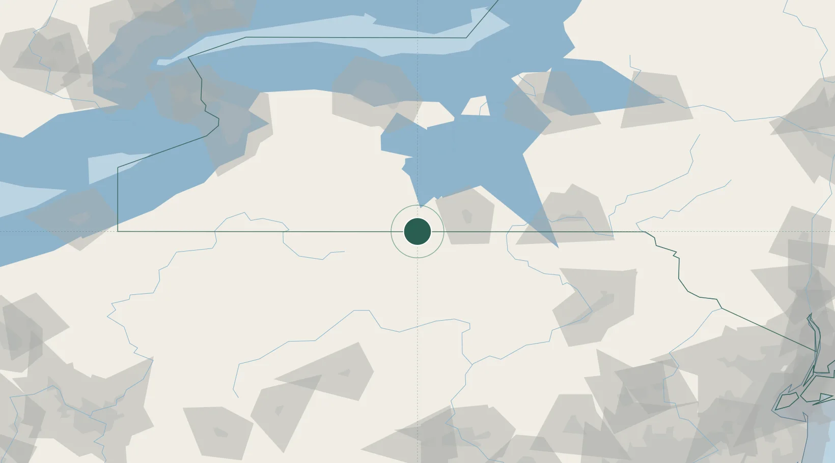
Hub Profile
Place type
Populated place
Region
New York
Time zone
America/New_York
Elevation
442 m
Location
Nearby Logistics Neighbours
Cities
- 1Farmington Hill9 km
- 2Erwins15 km
- 3Knoxville16 km
- 4Corning22 km
- 5Big Flats30 km
Airports
Trade Zones
- 1FTZ No. 289 Ontario County94 km
- 2FTZ No. 254 Jefferson County139 km
- 3FTZ No. 024 Pittston141 km
- 4FTZ No. 141 Monroe County154 km
- 5FTZ No. 295 Central Pennsylvania158 km
DatabookThe Record of Consolidated Knowledge
United States beyond logistics?