Transport Functions
Road
Multimodal
Hub Profile
Place type
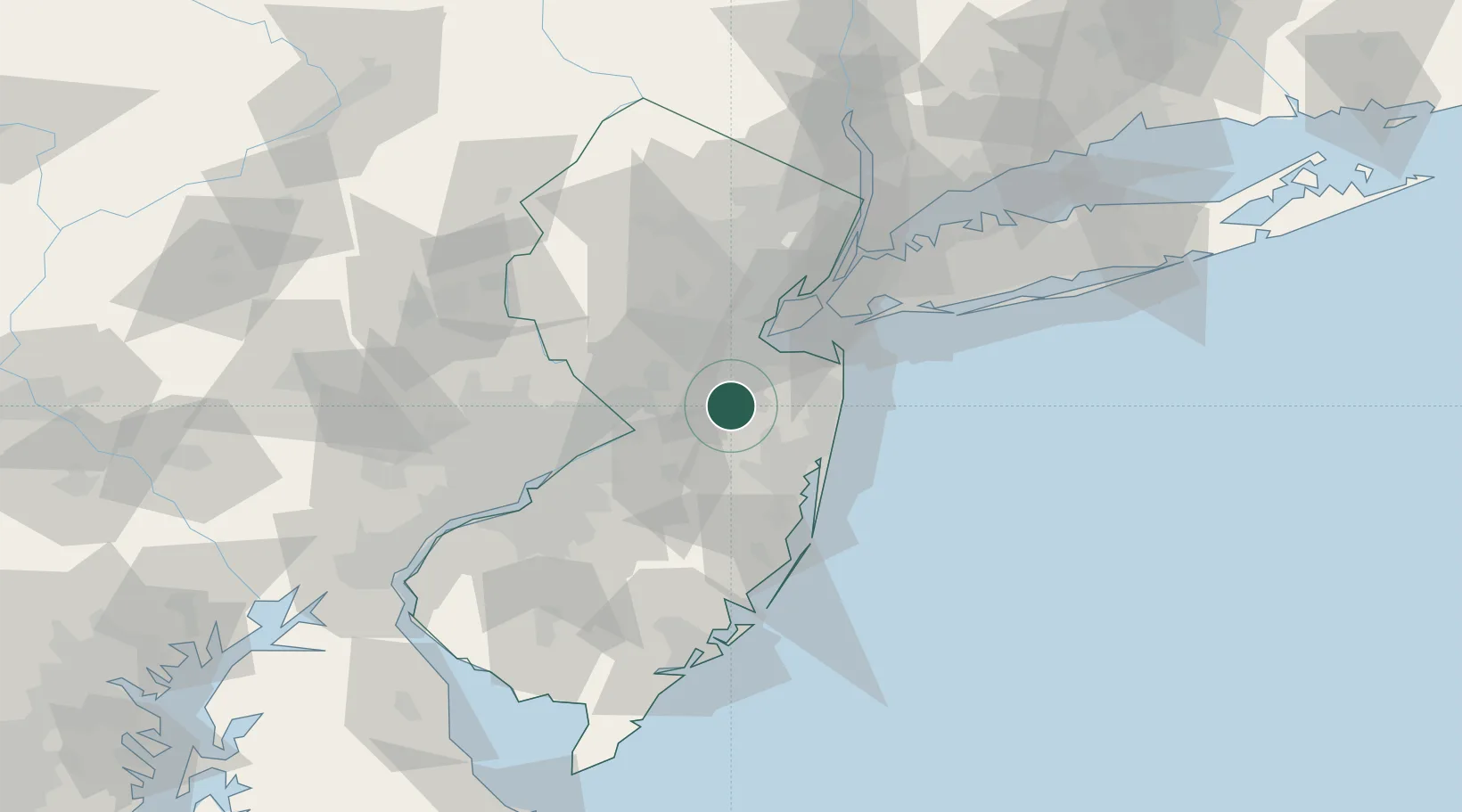
Populated place
Region
New Jersey
Time zone
America/New_York
Elevation
54 m
Location
Nearby Logistics Neighbours
Cities
- 1Monroe Township9 km
- 2Robinsville9 km
- 3Bradevelt10 km
- 4Jamesburg12 km
- 5East Freehold12 km
Ports
- 1Sayreville24 km
- 2South Amboy28 km
- 3Perth Amboy30 km
- 4Trenton33 km
- 5Leonardo34 km
Airports
Trade Zones
DatabookThe Record of Consolidated Knowledge
United States beyond logistics?