Transport Functions
Rail
Road
Hub Profile
Place type
Populated place
Region
New Jersey
Population
2,254
Time zone
America/New_York
Elevation
22 m
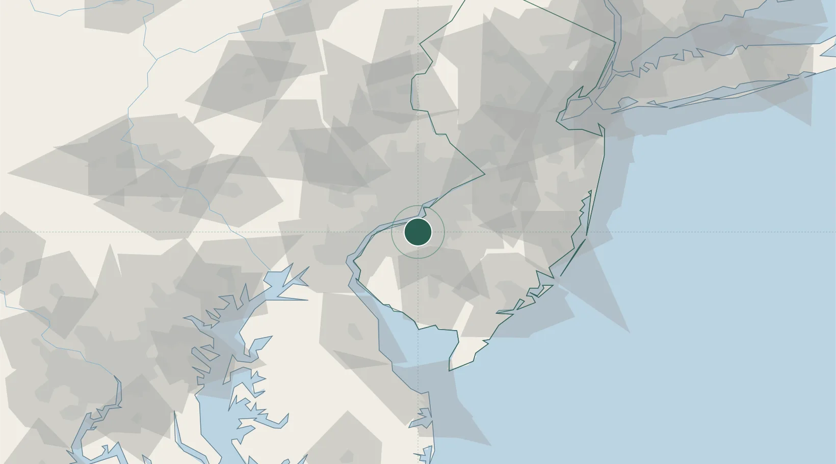
Location
Nearby Logistics Neighbours
Cities
- 1Mantua2 km
- 2Runnemede9 km
- 3Richwood9 km
- 4Pitman10 km
- 5Gloucester City11 km
Ports
- 1Paulsboro10 km
- 2Gloucester11 km
- 3Philadelphia17 km
- 4Camden17 km
- 5Chester18 km
Airports
Trade Zones
- 1FTZ No. 035 Philadelphia24 km
- 2FTZ No. 099 Wilmington34 km
- 3FTZ No. 142 Salem Millville46 km
- 4FTZ No. 200 Mercer County59 km
- 5FTZ No. 235 Lakewood83 km
DatabookThe Record of Consolidated Knowledge
United States beyond logistics?