UN/LOCODE hub · United States
USXTY
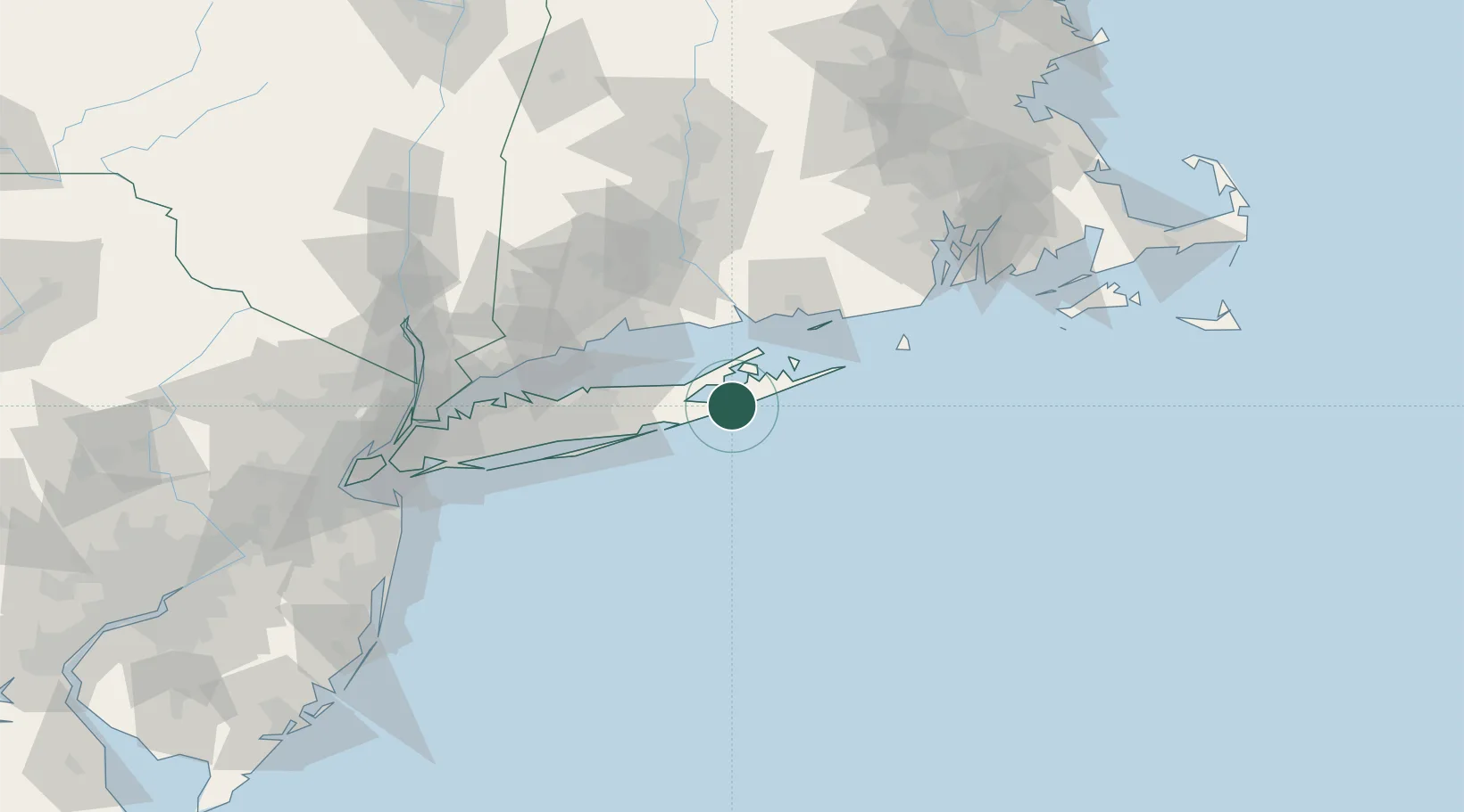
Tuckahoe
40.8833°, -72.4000°
1,373
Population
4
Transport functions
Transport Functions
Port
Rail
Road
Multimodal
Hub Profile
Place type
Populated place
Region
New York
Population
1,373
Time zone
America/New_York
Elevation
15 m
Location
Nearby Logistics Neighbours
Cities
- 1Water Mill5 km
- 2Bridgehampton10 km
- 3Sagaponack11 km
- 4Springville, Suffolk11 km
- 5Cutchogue15 km
Ports
- 1Greenport24 km
- 2Montauk Harbor44 km
- 3Essex52 km
- 4Patchogue54 km
- 5Port Jefferson58 km
Airports
Trade Zones
- 1FTZ No. 208 New London58 km
- 2FTZ No. 162 New Haven65 km
- 3FTZ No. 052 Suffolk County67 km
- 4FTZ No. 076 Bridgeport74 km
- 5FTZ No. 071 Windsor Locks118 km
DatabookThe Record of Consolidated Knowledge
United States beyond logistics?