UN/LOCODE hub · United States
USSP2
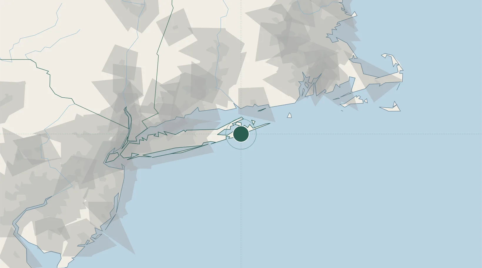
Sagaponack
40.9167°, -72.2833°
325
Population
2
Transport functions
Transport Functions
Port
Road
Hub Profile
Place type
Populated place
Region
New York
Population
325
Time zone
America/New_York
Elevation
7 m
Location
Nearby Logistics Neighbours
Cities
- 1Bridgehampton2 km
- 2Water Mill6 km
- 3North Haven9 km
- 4Tuckahoe11 km
- 5Sag Harbor11 km
Ports
- 1Greenport22 km
- 2Montauk Harbor34 km
- 3Essex49 km
- 4New London51 km
- 5Noank51 km
Airports
- 1Montauk Airport35 km
- 2Groton New London Airport50 km
- 3Westerly State Airport63 km
- 4Tweed New Haven Airport64 km
- 5Block Island State Airport65 km
Trade Zones
- 1FTZ No. 208 New London51 km
- 2FTZ No. 162 New Haven69 km
- 3FTZ No. 052 Suffolk County77 km
- 4FTZ No. 076 Bridgeport81 km
- 5FTZ No. 071 Windsor Locks116 km
DatabookThe Record of Consolidated Knowledge
United States beyond logistics?