UN/LOCODE hub · United States
USFEC
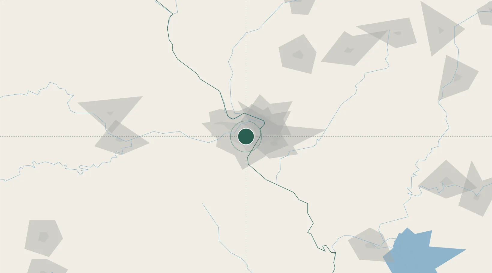
Frontenac
38.6333°, -90.4000°
3,574
Population
2
Transport functions
Transport Functions
Road
Multimodal
Hub Profile
Place type
Populated place
Region
Missouri
Population
3,574
Time zone
America/Chicago
Elevation
176 m
Location
Nearby Logistics Neighbours
Ports
- 1Port Of Memphis397 km
- 2Indiana Harbor421 km
- 3Gary422 km
- 4Calumet Harbor423 km
- 5Chicago432 km
Airports
Trade Zones
- 1FTZ No. 031 Granite City21 km
- 2FTZ No. 102 St. Louis County27 km
- 3FTZ No. 245 Decatur178 km
- 4FTZ No. 294 Western Kentucky236 km
- 5FTZ No. 114 Peoria240 km
DatabookThe Record of Consolidated Knowledge
United States beyond logistics?