UN/LOCODE hub · United States
USWTZ
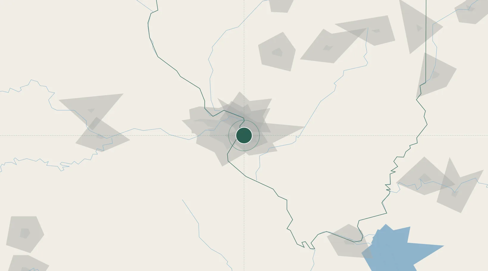
Wentzville
38.6050°, -90.1386°
35,603
Population
2
Transport functions
Transport Functions
Rail
Road
Hub Profile
Place type
Populated place
Region
Missouri
Population
35,603
Time zone
America/Chicago
Elevation
190 m
Logistics facilities
1
Location
Nearby Logistics Neighbours
Cities
- 1Fairmont City6 km
- 2Centreville6 km
- 3Caseyville8 km
- 4Saint Louis9 km
- 5Eureka, Saint Louis11 km
Ports
- 1Port Of Memphis394 km
- 2Indiana Harbor411 km
- 3Gary411 km
- 4Calumet Harbor413 km
- 5Chicago423 km
Airports
Trade Zones
- 1FTZ No. 031 Granite City16 km
- 2FTZ No. 102 St. Louis County50 km
- 3FTZ No. 245 Decatur167 km
- 4FTZ No. 294 Western Kentucky219 km
- 5FTZ No. 177 Evansville231 km
DatabookThe Record of Consolidated Knowledge
United States beyond logistics?