UN/LOCODE hub · United States
USSTL
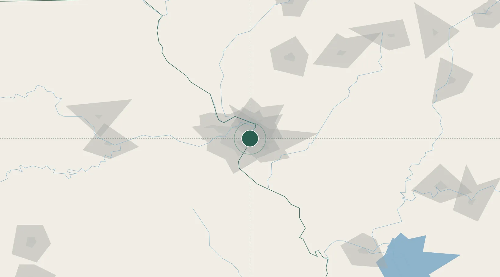
Saint Louis
38.6570°, -90.2166°
7,482
Population
3
Transport functions
Transport Functions
Port
Road
Airport
Hub Profile
Place type
Populated place
Region
Michigan
Population
7,482
Time zone
America/Detroit
Elevation
223 m
Logistics facilities
25
Location
Nearby Logistics Neighbours
Cities
- 1Eureka, Saint Louis4 km
- 2Jennings7 km
- 3Clayton8 km
- 4Pagedale8 km
- 5Bellefontaine Neighbors9 km
Ports
- 1Port Of Memphis399 km
- 2Indiana Harbor410 km
- 3Gary410 km
- 4Calumet Harbor412 km
- 5Chicago422 km
Airports
Trade Zones
- 1FTZ No. 031 Granite City9 km
- 2FTZ No. 102 St. Louis County43 km
- 3FTZ No. 245 Decatur167 km
- 4FTZ No. 294 Western Kentucky228 km
- 5FTZ No. 114 Peoria233 km
DatabookThe Record of Consolidated Knowledge
United States beyond logistics?