UN/LOCODE hub · United States
USGJQ
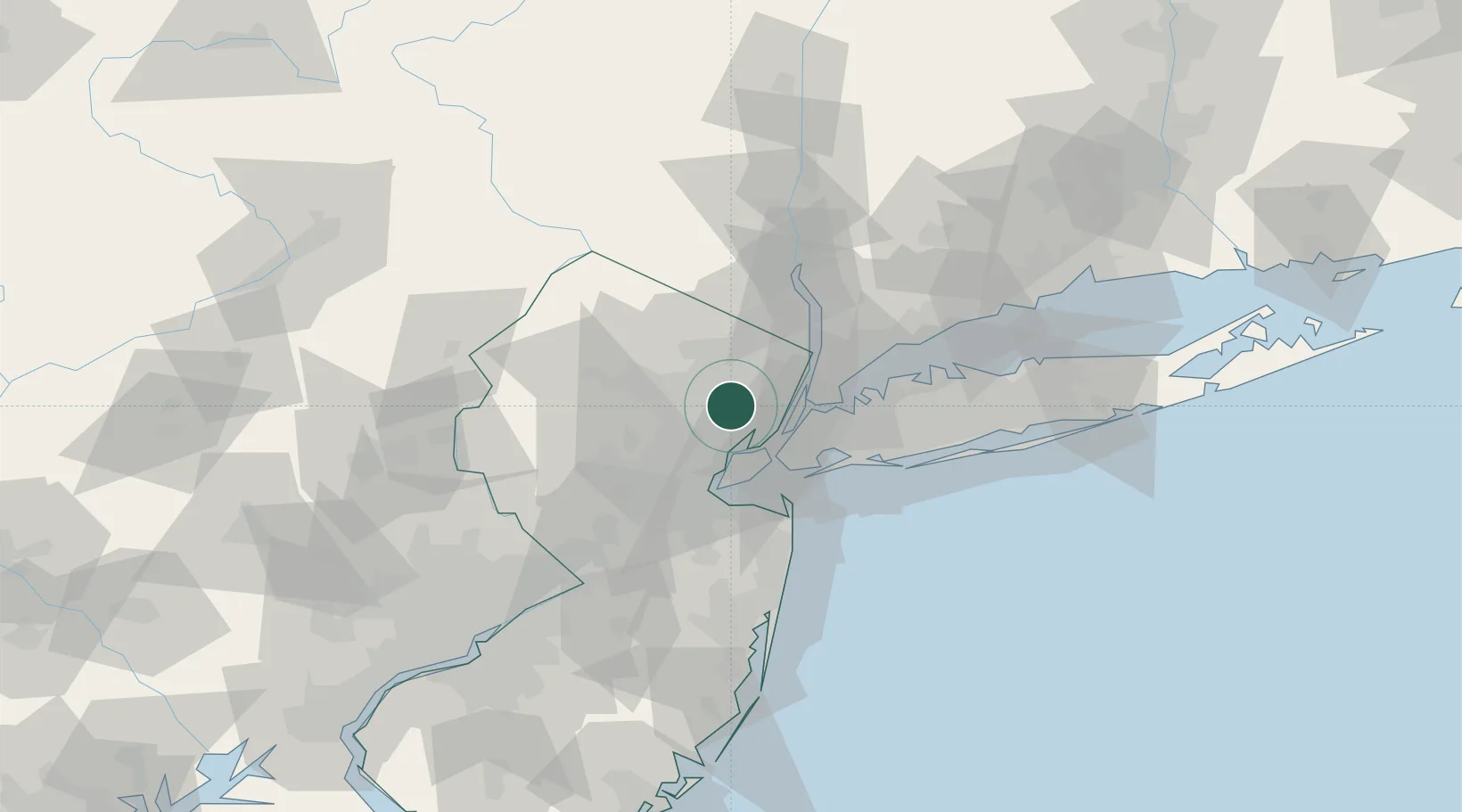
Glen Ridge
40.8000°, -74.2000°
7,660
Population
1
Transport functions
Transport Functions
Port
Hub Profile
Place type
District seat
Region
New Jersey
Population
7,660
Time zone
America/New_York
Elevation
66 m
Location
Nearby Logistics Neighbours
Cities
- 1East Orange4 km
- 2Orange4 km
- 3Arlington7 km
- 4North Caldwell7 km
- 5South Orange8 km
Ports
- 1Newark12 km
- 2Bayonne16 km
- 3Weehawken16 km
- 4Hoboken16 km
- 5Elizabethport17 km
Airports
Trade Zones
DatabookThe Record of Consolidated Knowledge
United States beyond logistics?