UN/LOCODE hub · United States
US2CW
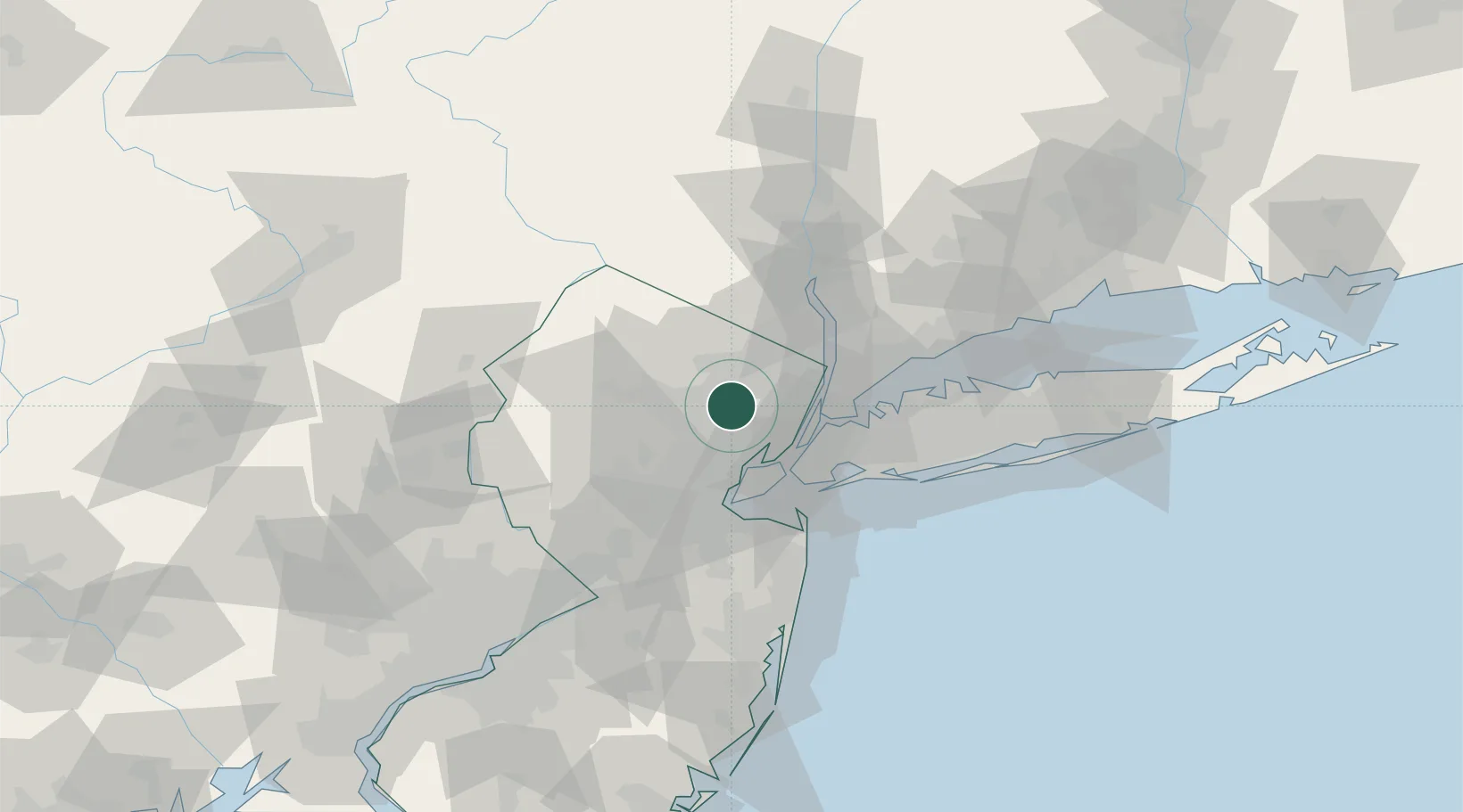
North Caldwell
40.8500°, -74.2500°
6,661
Population
1
Transport functions
Transport Functions
Multimodal
Hub Profile
Place type
Populated place
Region
New Jersey
Population
6,661
Time zone
America/New_York
Elevation
143 m
Location
Nearby Logistics Neighbours
Cities
- 1West Paterson6 km
- 2Glen Ridge7 km
- 3Orange10 km
- 4East Orange10 km
- 5South Orange11 km
Airports
Trade Zones
DatabookThe Record of Consolidated Knowledge
United States beyond logistics?