Transport Functions
Rail
Road
Hub Profile
Place type
Populated place
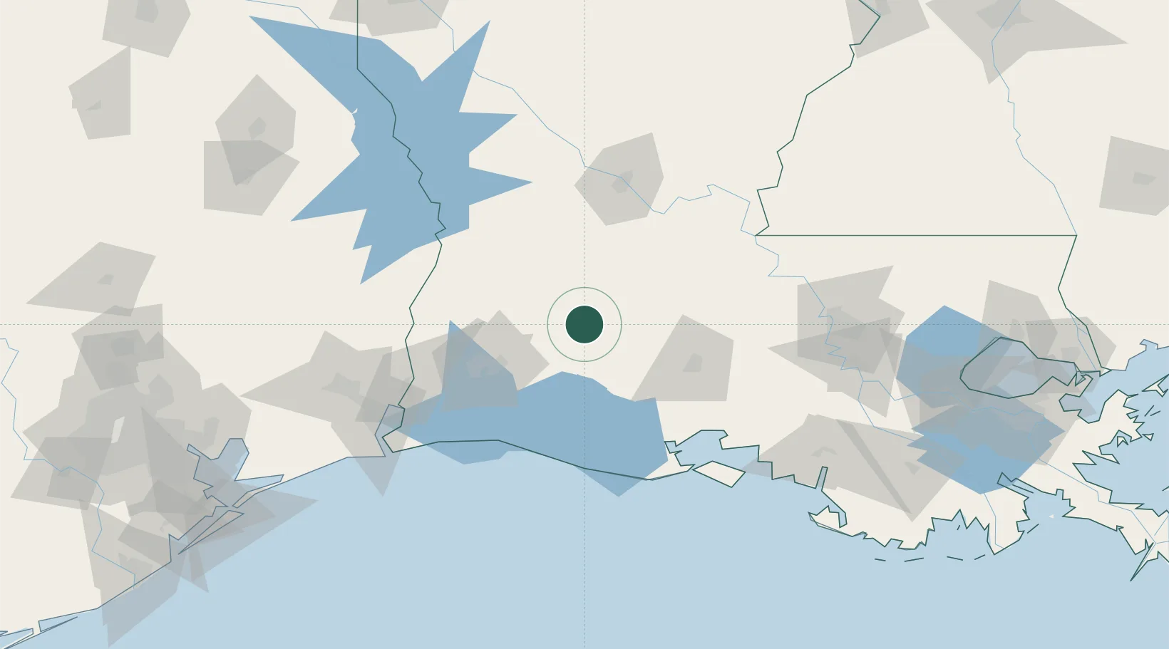
Region
Louisiana
Population
1,127
Time zone
America/Chicago
Elevation
15 m
Location
Nearby Logistics Neighbours
Cities
- 1Kinder16 km
- 2Welsh29 km
- 3Lake Arthur45 km
- 4Ville Platte45 km
- 5Church Point47 km
Ports
- 1Lake Charles61 km
- 2Orange110 km
- 3Port Neches132 km
- 4Beaumont141 km
- 5Sabine141 km
Airports
Trade Zones
- 1FTZ No. 087 Lake Charles72 km
- 2FTZ No. 291 Cameron Parish112 km
- 3FTZ No. 117 Orange120 km
- 4FTZ No. 154 Baton Rouge137 km
- 5FTZ No. 155 Calhoun Victoria Counties137 km
DatabookThe Record of Consolidated Knowledge
United States beyond logistics?