UN/LOCODE hub · United States
USVRE
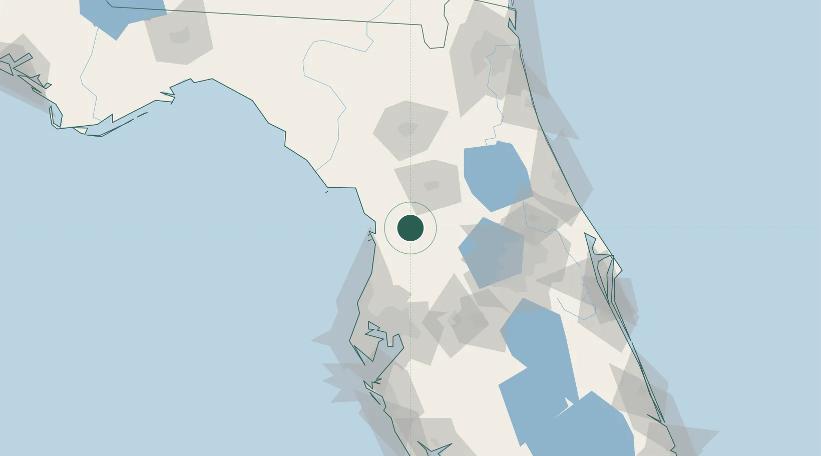
Inverness
28.8333°, -82.3333°
7,233
Population
2
Transport functions
Transport Functions
Rail
Road
Hub Profile
Place type
Provincial seat
Region
Florida
Population
7,233
Time zone
America/New_York
Elevation
15 m
Location
Nearby Logistics Neighbours
Cities
- 1Hernando6 km
- 2Dunnellon25 km
- 3Crystal River25 km
- 4Sumterville30 km
- 5Bushnell31 km
Ports
- 1Tarpon Springs87 km
- 2Tampa103 km
- 3Sankt-Peterburg122 km
- 4Port Manatee135 km
- 5St Augustine154 km
Airports
Trade Zones
- 1FTZ No. 198 Volusia County88 km
- 2FTZ No. 042 Orlando90 km
- 3FTZ No. 250 Seminole County95 km
- 4FTZ No. 193 Pinellas County96 km
- 5FTZ No. 079 Tampa99 km
DatabookThe Record of Consolidated Knowledge
United States beyond logistics?