UN/LOCODE hub · United States
USDFU
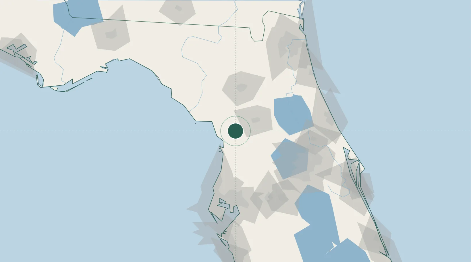
Dunnellon
29.0333°, -82.4500°
1,777
Population
3
Transport functions
Transport Functions
Port
Rail
Road
Hub Profile
Place type
Populated place
Region
Florida
Population
1,777
Time zone
America/New_York
Elevation
15 m
Location
Nearby Logistics Neighbours
Cities
- 1Hernando19 km
- 2Crystal River21 km
- 3Inverness25 km
- 4Belleview39 km
- 5Summerfield41 km
Ports
- 1Tarpon Springs103 km
- 2Tampa124 km
- 3Sankt-Peterburg142 km
- 4St Augustine146 km
- 5Port Manatee156 km
Airports
Trade Zones
- 1FTZ No. 198 Volusia County97 km
- 2FTZ No. 042 Orlando110 km
- 3FTZ No. 250 Seminole County111 km
- 4FTZ No. 193 Pinellas County111 km
- 5FTZ No. 079 Tampa120 km
DatabookThe Record of Consolidated Knowledge
United States beyond logistics?