UN/LOCODE hub · United States
USQCQ
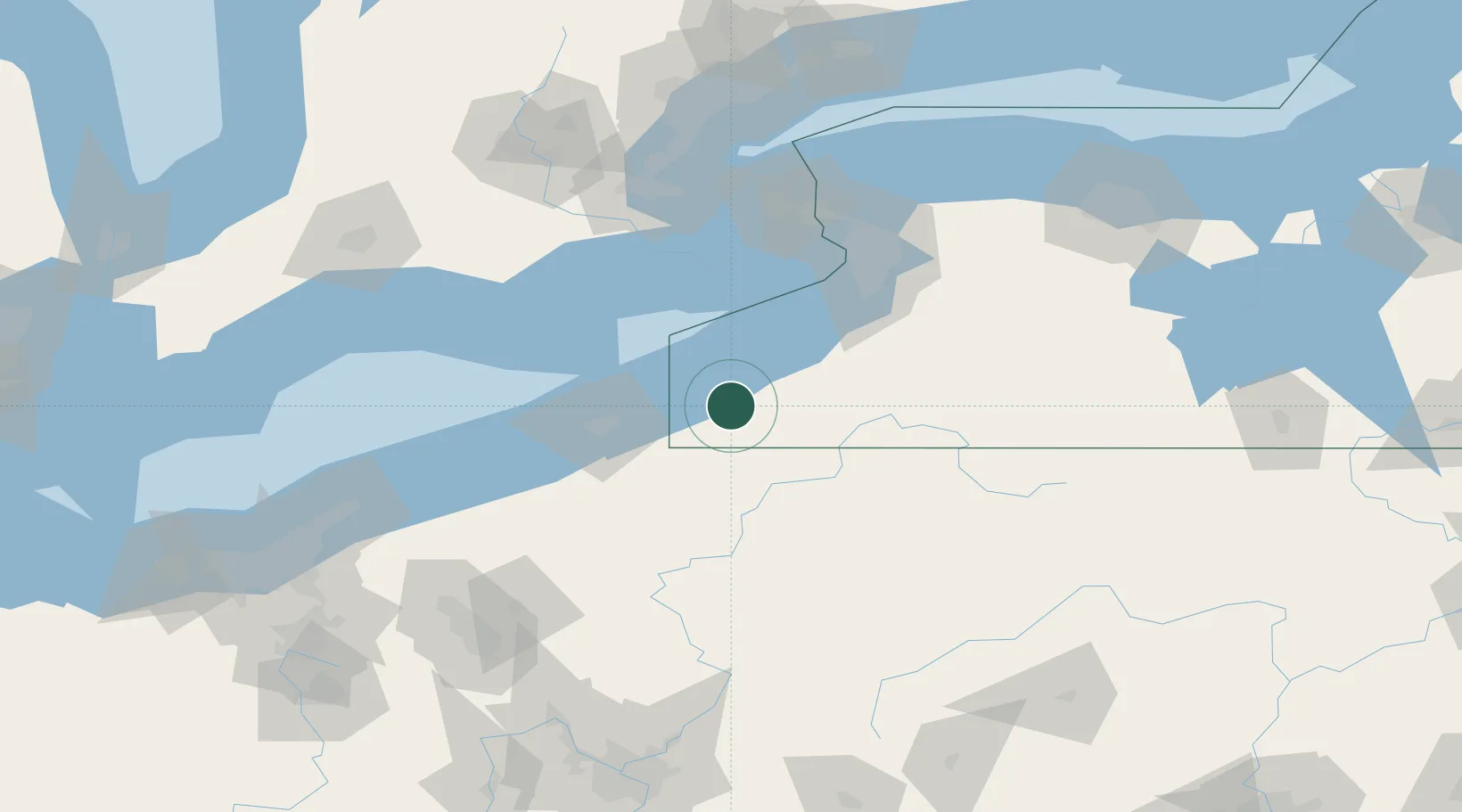
Chautauqua
42.2000°, -79.4667°
191
Population
3
Transport functions
Transport Functions
Port
Road
Multimodal
Hub Profile
Place type
Populated place
Region
New York
Population
191
Time zone
America/New_York
Elevation
415 m
Location
Nearby Logistics Neighbours
Ports
- 1Dunkirk33 km
- 2Erie53 km
- 3Port Maitland73 km
- 4Port Colborne78 km
- 5Port Dover88 km
Airports
Trade Zones
- 1FTZ No. 247 Erie54 km
- 2FTZ No. 023 Buffalo89 km
- 3FTZ No. 254 Jefferson County104 km
- 4Niagara Foreign Trade Zone105 km
- 5FTZ No. 034 Niagara County129 km
DatabookThe Record of Consolidated Knowledge
United States beyond logistics?