UN/LOCODE hub · United States
USDKK
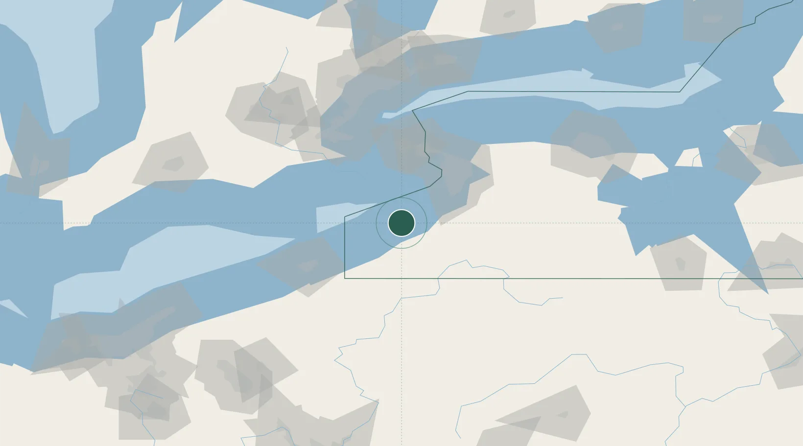
Dunkirk
42.4833°, -79.2667°
12,081
Population
3
Transport functions
Transport Functions
Port
Road
Airport
Hub Profile
Place type
Populated place
Region
New York
Population
12,081
Time zone
America/New_York
Elevation
188 m
Location
Nearby Logistics Neighbours
Cities
- 1Silver Creek10 km
- 2Dayton26 km
- 3Collins29 km
- 4Derby32 km
- 5Mayville32 km
Ports
- 1Port Colborne45 km
- 2Port Maitland48 km
- 3Buffalo54 km
- 4Welland58 km
- 5Tonawanda69 km
Airports
Trade Zones
- 1FTZ No. 023 Buffalo54 km
- 2Niagara Foreign Trade Zone70 km
- 3FTZ No. 247 Erie80 km
- 4FTZ No. 034 Niagara County95 km
- 5FTZ No. 254 Jefferson County124 km
DatabookThe Record of Consolidated Knowledge
United States beyond logistics?