UN/LOCODE hub · United States
USAY7
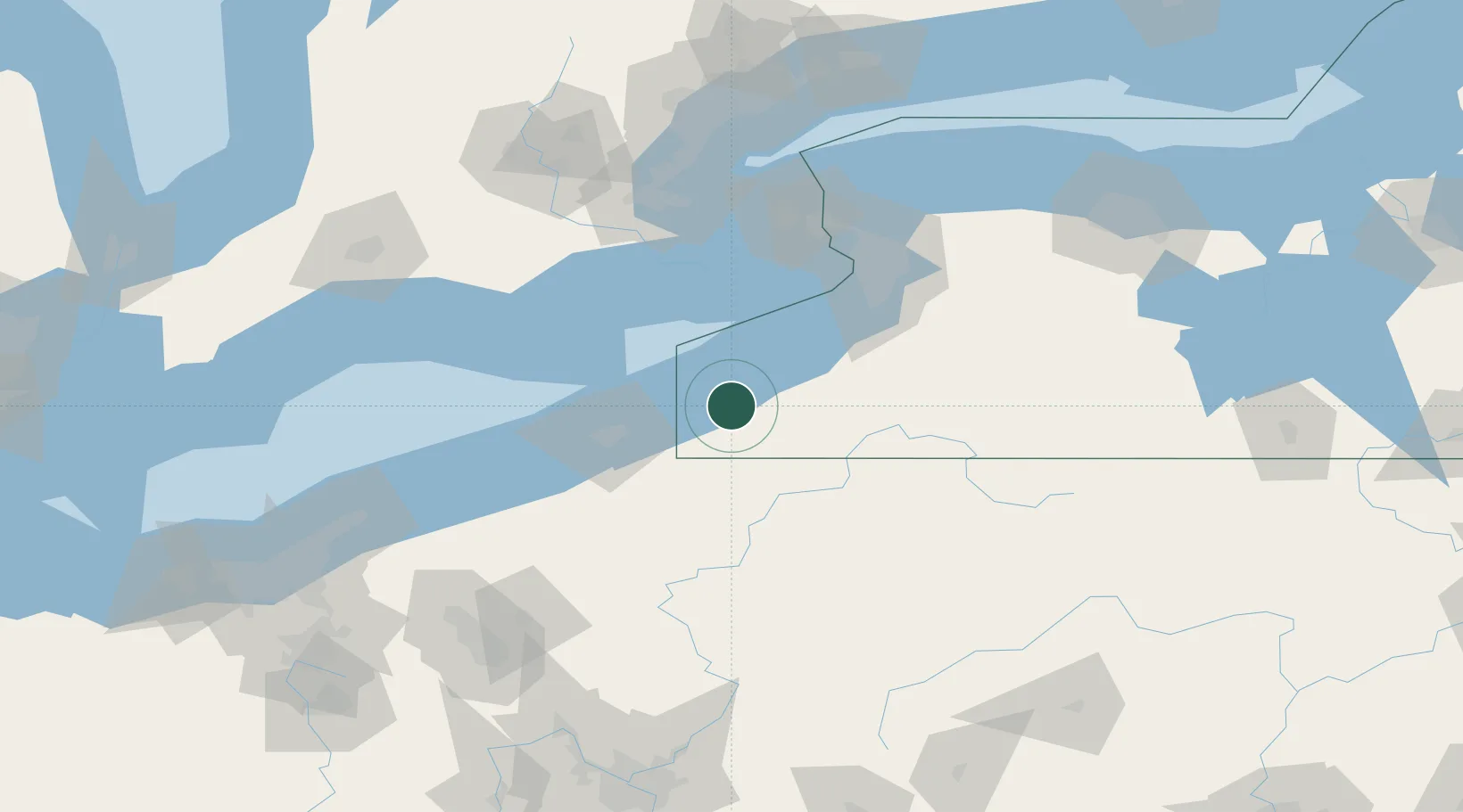
Mayville
42.2500°, -79.5000°
1,669
Population
1
Transport functions
Transport Functions
Port
Hub Profile
Place type
Provincial seat
Region
New York
Population
1,669
Time zone
America/New_York
Elevation
443 m
Location
Nearby Logistics Neighbours
Cities
- 1Chautauqua6 km
- 2Stow14 km
- 3Falconer30 km
- 4Dunkirk32 km
- 5Frewsburg35 km
Ports
- 1Dunkirk29 km
- 2Erie51 km
- 3Port Maitland67 km
- 4Port Colborne73 km
- 5Port Dover83 km
Airports
Trade Zones
- 1FTZ No. 247 Erie52 km
- 2FTZ No. 023 Buffalo86 km
- 3Niagara Foreign Trade Zone101 km
- 4FTZ No. 254 Jefferson County110 km
- 5FTZ No. 034 Niagara County124 km
DatabookThe Record of Consolidated Knowledge
United States beyond logistics?