Transport Functions
Rail
Road
Multimodal
Hub Profile
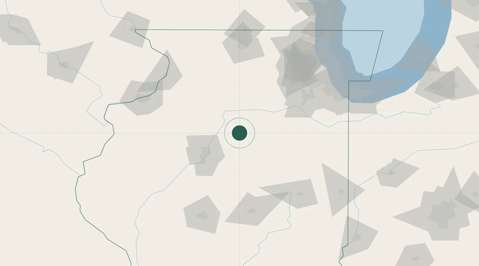
Place type
Populated place
Region
Illinois
Population
1,330
Time zone
America/Chicago
Elevation
212 m
Location
Nearby Logistics Neighbours
Ports
- 1Calumet Harbor156 km
- 2Indiana Harbor159 km
- 3Chicago160 km
- 4Gary164 km
- 5Wilmette170 km
Airports
Trade Zones
- 1FTZ No. 114 Peoria52 km
- 2FTZ No. 245 Decatur127 km
- 3FTZ No. 022 Chicago139 km
- 4FTZ No. 176 Rockford140 km
- 5FTZ No. 055 Burlington168 km
DatabookThe Record of Consolidated Knowledge
United States beyond logistics?