Transport Functions
Port
Rail
Road
Multimodal
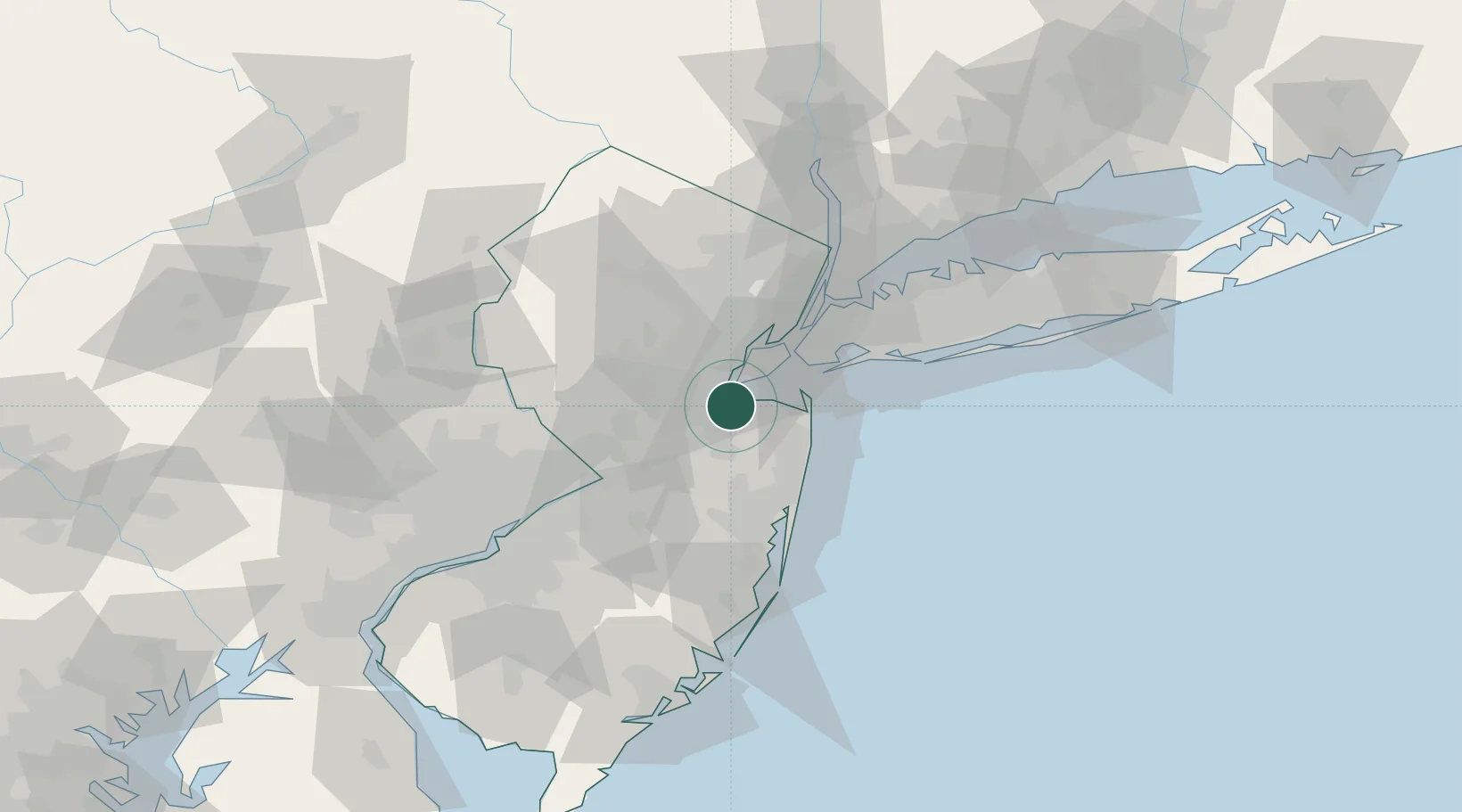
Hub Profile
Place type
Populated place
Region
New Jersey
Population
8,853
Time zone
America/New_York
Elevation
15 m
Logistics facilities
1
Location
Nearby Logistics Neighbours
Cities
- 1Laurence Harbor4 km
- 2Aberdeen5 km
- 3Brunswick Gardens7 km
- 4Sayreville8 km
- 5Robertsville8 km
Ports
- 1South Amboy7 km
- 2Perth Amboy9 km
- 3Sayreville10 km
- 4Sewaren14 km
- 5Port Reading16 km
Airports
Trade Zones
DatabookThe Record of Consolidated Knowledge
United States beyond logistics?