UN/LOCODE hub · United States
US5BL
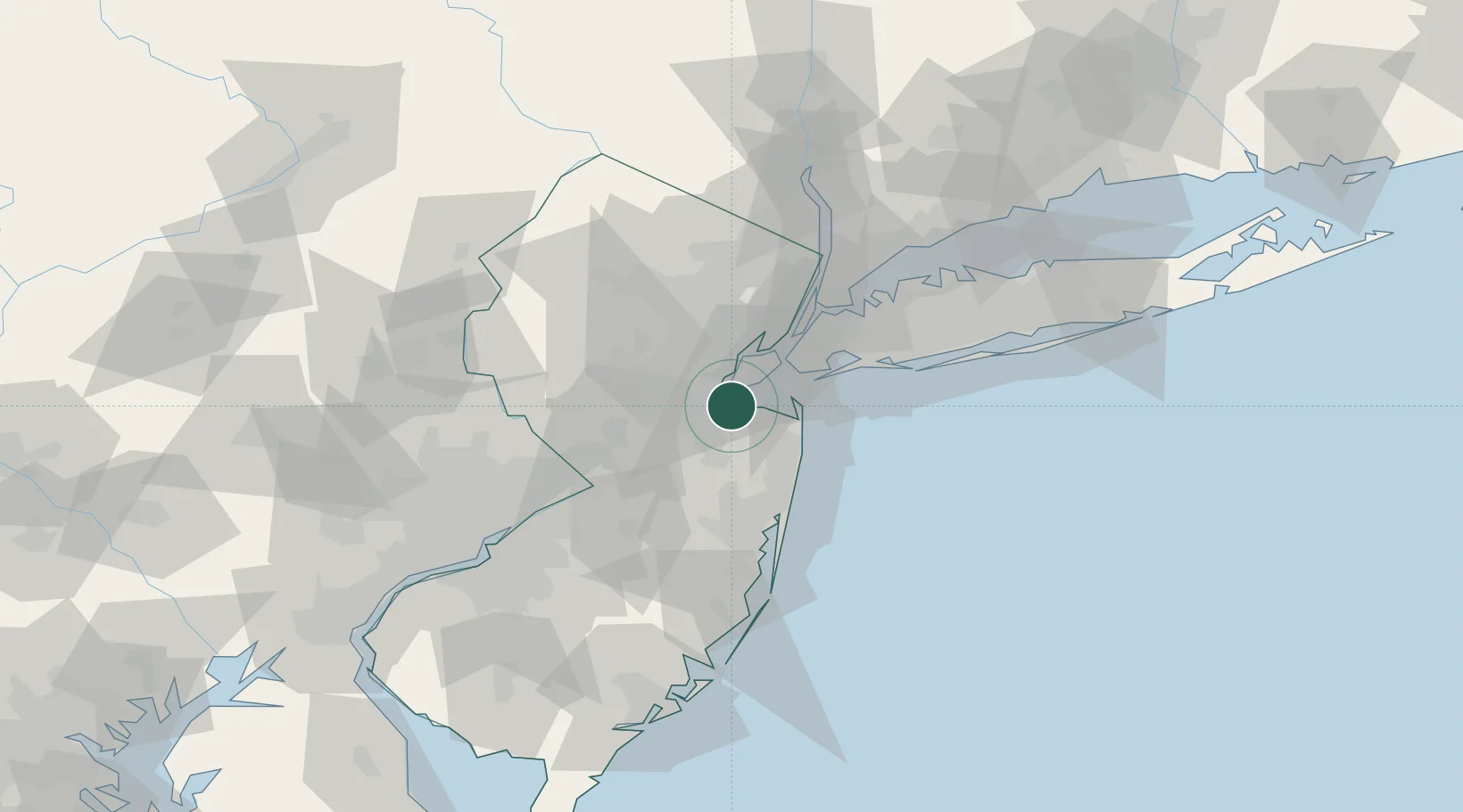
Laurence Harbor
40.4500°, -74.2333°
6,536
Population
2
Transport functions
Transport Functions
Port
Multimodal
Hub Profile
Place type
Populated place
Region
New Jersey
Population
6,536
Time zone
America/New_York
Elevation
8 m
Location
Nearby Logistics Neighbours
Cities
- 1Matawan4 km
- 2Tottenville, Staten Island8 km
- 3Aberdeen8 km
- 4Sayreville10 km
- 5East Keansburg10 km
Ports
- 1South Amboy5 km
- 2Perth Amboy6 km
- 3Sewaren11 km
- 4Sayreville11 km
- 5Port Reading13 km
Airports
Trade Zones
DatabookThe Record of Consolidated Knowledge
United States beyond logistics?