UN/LOCODE hub · United States
USRVB
Robertsville
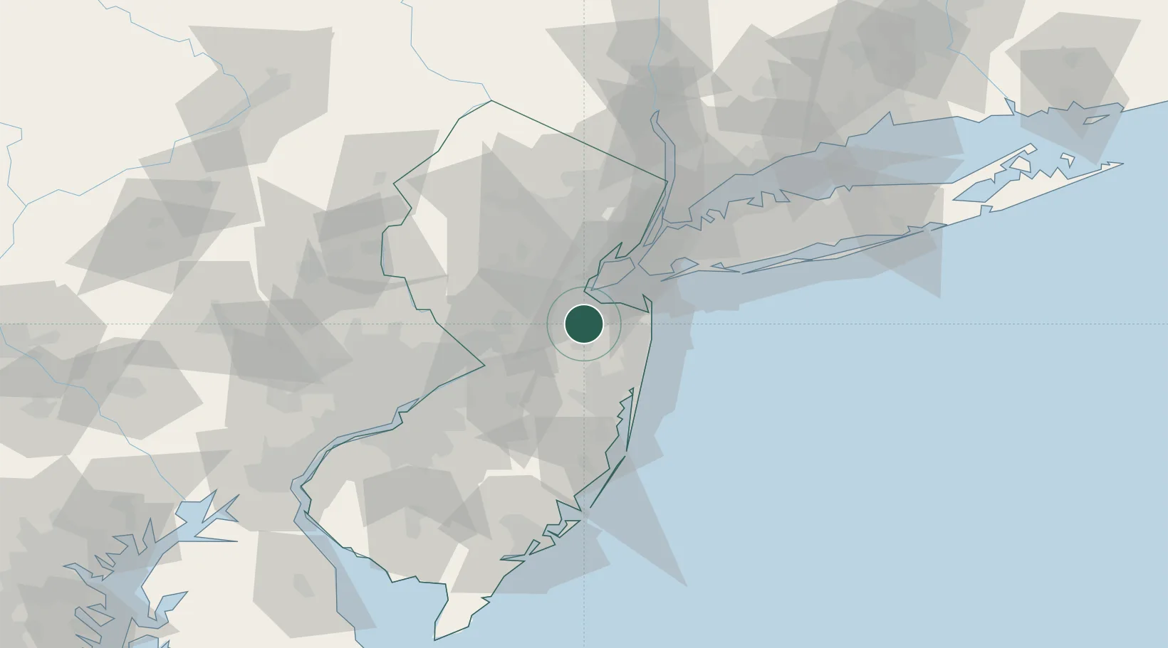
40.3500°, -74.2833°
11,297
Population
2
Transport functions
Transport Functions
Road
Multimodal
Hub Profile
Place type
Populated place
Region
New Jersey
Population
11,297
Time zone
America/New_York
Elevation
41 m
Location
Nearby Logistics Neighbours
Cities
- 1Bradevelt5 km
- 2Aberdeen5 km
- 3Brunswick Gardens6 km
- 4East Freehold8 km
- 5Matawan8 km
Ports
- 1Sayreville15 km
- 2South Amboy15 km
- 3Perth Amboy17 km
- 4Leonardo21 km
- 5Sewaren22 km
Airports
Trade Zones
DatabookThe Record of Consolidated Knowledge
United States beyond logistics?