UN/LOCODE hub · United States
USAB3

Aberdeen

40.3833°, -74.2500°
3
Transport functions

Transport Functions

Port
Road
Multimodal
UN/LOCODE

Hub Profile

Place type
Populated place
GeoNames
Region
Pennsylvania
GeoNames
Time zone
America/New_York
GeoNames
Elevation
488 m
GeoNames

Location

Location of USAB3
Natural Earth 10m (public domain) · Pennsylvania · USAB3 · 40.38, -74.25GoogleOSMYandex

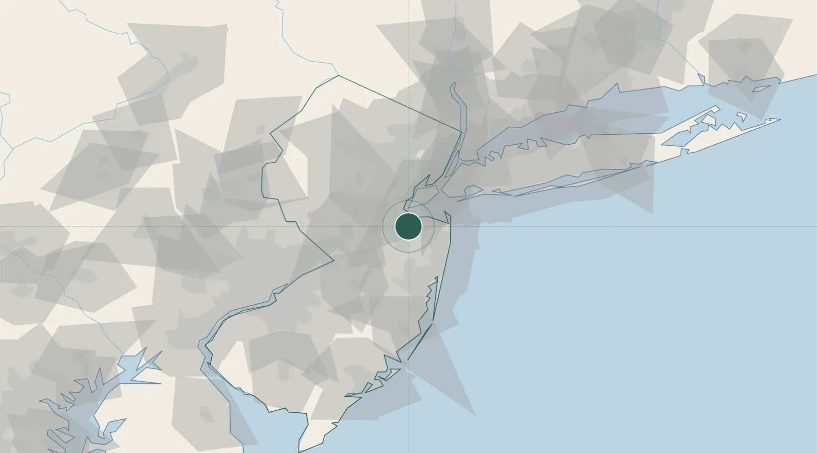
Nearby Logistics Neighbours

Cities
  1. 1Matawan5 km
  2. 2Robertsville5 km
  3. 3Brunswick Gardens7 km
  4. 4Laurence Harbor8 km
  5. 5Bradevelt9 km
Nearest neighbours — logibook spatial index (haversine) over the source coordinates
Ports
  1. 1South Amboy11 km
  2. 2Perth Amboy13 km
  3. 3Sayreville14 km
  4. 4Leonardo17 km
  5. 5Sewaren19 km
Nearest neighbours — logibook spatial index (haversine) over the source coordinates
Airports
  1. 1Newark Liberty International Airport35 km
  2. 2Lakehurst Maxfield Field Airport40 km
  3. 3New York Skyports Inc Seaplane Base46 km
  4. 4West 30th Street Heliport46 km
  5. 5East 34th Street Heliport46 km
Nearest neighbours — logibook spatial index (haversine) over the source coordinates
Trade Zones
  1. 1FTZ No. 049 Newark Elizabeth35 km
  2. 2FTZ No. 235 Lakewood35 km
  3. 3FTZ No. 001 New York City42 km
  4. 4FTZ No. 200 Mercer County52 km
  5. 5FTZ No. 044 Morris County74 km
Nearest neighbours — logibook spatial index (haversine) over the source coordinates
DatabookThe Record of Consolidated Knowledge
United States beyond logistics?
Browse databook

All Sources

LocationsUN/LOCODE
UN/LOCODE — free
Portsthe NGA World Port Index
Public domain (US gov)
AirportsOurAirports
Public domain
Trade Zonesthe World Bank SEZ database
CC BY 4.0
Trade ZonesOpen Zone Map
CC BY
← United States locations