UN/LOCODE hub · United States
USSFG
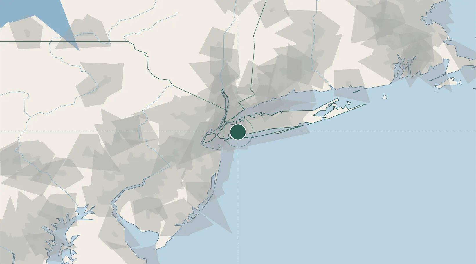
Springfield Gardens
40.6667°, -73.7333°
30,515
Population
2
Transport functions
Transport Functions
Road
Multimodal
Hub Profile
Place type
Urban district
Region
New York
Population
30,515
Time zone
America/New_York
Elevation
9 m
Location
Nearby Logistics Neighbours
Cities
- 1Laurelton1 km
- 2Hewlett5 km
- 3Elmont5 km
- 4Lawrence6 km
- 5Cedarhurst6 km
Ports
- 1City Island21 km
- 2Brooklyn24 km
- 3New York City24 km
- 4Hoboken26 km
- 5Jersey City26 km
Airports
Trade Zones
DatabookThe Record of Consolidated Knowledge
United States beyond logistics?